
PORTLAND, Ore. — Editor's note: Please click here to view the latest information on wildfires in the Pacific Northwest.
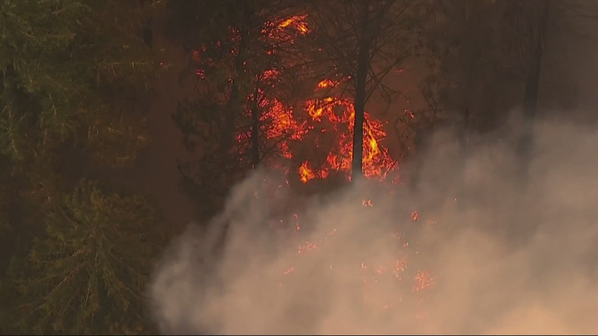
Despite a wet winter across much of the Pacific Northwest, fire season is now well underway in Oregon and Washington after successive weeks of hot, dry weather heading into summer. Fire officials have predicted above-average potential for dangerously large fires for nearly all of Washington and a broad swath of Oregon this year.
There are currently multiple wildfires burning in the region, the details of which will be continuously updated below. Note: No fire that is more than 90% contained will be listed.
The updates below are for the morning of August 14, 2023. As of that date, there are no large fires actively burning in southwestern Washington.
- Location: In the Rogue River-Siskiyou National Forest, south of Agness and east of Gold Beach.
- Acreage: 33,874 acres
- Cause: Believed to be human-caused but the particulars are still under investigation.
- Began: July 15
- Containment: 56%
- Closures: The Rogue River Siskiyou National Forest has issued a closure order for the fire area, including trails, roads, and a portion of the Illinois River. Oak Flat Campground, Game Lake and Wild Horse Campgrounds and Snow Camp Lookout Recreation Rentals are all closed as part of the area closure. The Chetco River Road (FSR 1376) and Chetco/Pistol River Road (FSR 1407) are now closed. The updated closure allows for public access to the Big Rock swimming hole on the Illinois River.
- Evacuations: All evacuation orders have been reduced to a Level 1 "Get Ready" notice for areas around the fire.
- More info: Visit the Flat Fire information page on Facebook or go to the Flat Fire's entry on Inciweb.
RELATED: Flat Fire up to 22,000 acres in southern Oregon; Level 2 evacuation orders remain in effect
- Location: Near the Bedrock Campground in the Fall Creek area southeast of Eugene.
- Acreage: 19,297 acres
- Cause: Under investigation
- Began: July 22
- Containment: 20%
- Closures: The Willamette National Forest has issued an extensive closure order for fire area, including roads, trails, campgrounds and other recreation sites.
- Evacuations: As of Monday morning, a Level 3 "Go Now" evacuation order is in effect for areas near Peninsula Road, east of Timber, and Big Fall Creek, east of the intersection with Peninsula Road. A Level 2 (Be Set) evacuation order is also in effect for areas near Big Fall Creek Road, east of Winberry Creek Road to Peninsula Road, Peninsula Road along the south of Fall Cree Reservoir to Timber Creek, and Winberry Creek Road, east of milepost 4.
- More info: Visit the Bedrock Fire information page on Facebook or go to the Bedrock Fire's entry on Inciweb.
- Location: 3 miles northeast of Oakridge in Lane County, on the north side of Salmon Creek.
- Acreage: 135 acres
- Cause: Under investigation
- Began: August 6
- Containment: 80%
- Closures: The Willamette National Forest has issued a closure order for the fire area, including roads, trails and other recreation sites.
- Evacuations: The Lane County Sheriff's Office issued a Level 1 “Be Ready” evacuation notice Monday morning for areas north and east of Oakridge because of the Salmon Fire.
- More info: Visit the Bedrock Fire information page on Facebook, which is being shared with the Salmon Fire, or go to the Salmon Fire's entry on Inciweb.
Wiley Fire
- Location: 6 miles southeast of Sweet Home in Linn County
- Acreage: 241 acres
- Cause: Under investigation
- Began: August 7
- Containment: 25%
- Closures: The Oregon State Marine Board has enacted a temporary order which closes Green Peter Reservoir to all boating through August 25 or until the need for the closure no longer exists.
- Evacuations: The Linn County Sheriff's Office has issued Level 2 “Be Set” evacuation warnings beginning at the intersection of Highway 20 at Whiskey Butte Drive, traversing along Whiskey Butte Drive to Cedar Creek Road, and extending south to Wiley Creek Road. Then, from the intersection of Cedar Creek Road and Wiley Creek Road, east along the south boundary of the Willamette National Forest area to Swamp Mountain Road, and along Swamp Mountain Road north to Highway 20. A Level 1 "Be Ready" evacuation notice is in place for areas immediately surrounding the Level 2 area.
- More info: Visit the Willamette National Forest's Facebook page for updates.
- Location: In Klamath County, 11 miles north of Bonanza.
- Acreage: 2,137 acres
- Cause: Under investigation
- Began: July 22
- Containment: 83%
- Closures: N/A
- Evacuations: For more information on evacuations, call the Klamath County hotline at 541-205-9730 or sign up for Klamath County alerts online.
- More info: Visit the Golden Fire information page on Facebook or go to the Golden Fire's entry on Inciweb.