EUGENE, Ore. — The Lane County Sheriff's Office issued a Level 3 (Go Now) evacuation order Monday morning for areas near the Bedrock Fire, burning southeast of Eugene.
The Level 3 (Go Now) order impacts areas near Peninsula Road, east of Timber, and Big Fall Creek, east of the intersection with Peninsula Road.
A Level 2 (Be Set) evacuation order is also in effect for areas near Big Fall Creek Road, east of Winberry Creek Road to Peninsula Road, Peninsula Road along the south of Fall Creek Reservoir to Timber Creek, and Winberry Creek Road, east of milepost 4.
The Red Cross has opened a shelter at Lowell High School at 65 Pioneer Street. The shelter will be open from 8 a.m. to 8 p.m. each day while the Level 2 evacuation notice is in effect.
Fire officials are asking the public to avoid the Fall Creek area. Several campgrounds along Big Fall Creek Road are closed, including Bedrock Campground and Puma Campground.
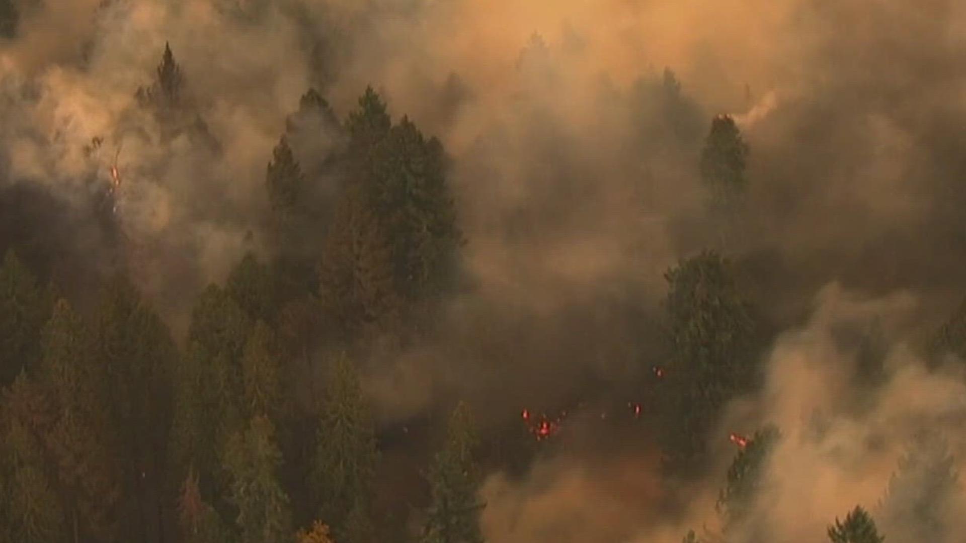
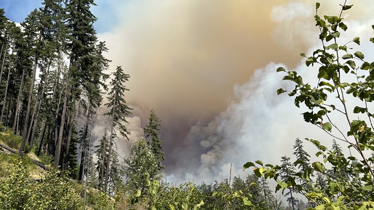
The Bedrock Fire, burning near the Bedrock Campground in the Fall Creek area, has burned 25,780 acres since it started on July 22. The fire is currently 20% contained, according to the U.S. Department of Agriculture (USDA) reported.
The Oregon State Fire Marshal has mobilized four task forces from Multnomah, Washington, Douglas and Polk counties to help with the fire.
“The next few days are going to be challenging with extreme heat, lightning, and red flag conditions in the forecast,” Oregon State Fire Marshal Mariana Ruiz-Temple said. “The Bedrock Fire continues to move out of the wilderness and is threatening nearby communities. Our agency will be there to support our local fire service partners.”
The cause of the fire remains under investigation, the USDA said.
Fire danger level on the Willamette National Forest is "very high" and fire and restrictions are in effect, applicable to all lands within the Willamette National Forest except the Three Sisters, Mt. Jefferson, Mt. Washington, Waldo Lake, and Diamond Peak Wilderness areas, according to the U.S. Forest Service.
Here's what evacuation levels mean
Level 1 Notice - Be Ready: Residents should be aware of the danger that exists in their area and monitor local media outlets for information. Residents with special needs should take note and begin making arrangements to evacuate. Evacuations at this time are voluntary.
Level 2 Notice - Be Set: This level indicates there is significant danger to your area, and residents should either voluntarily relocate to a shelter or outside of the affected area, or if choosing to remain, to be ready at a moment's notice. Emergency services cannot guarantee that they will be able to notify you if conditions rapidly deteriorate.
Level 3 Notice - Go Now: Danger to your area is current or imminent, and you should leave immediately. Listen to local media and watch for emergency personnel who may be coming by to give further instructions regarding the evacuation.
Download the KGW News app: Download for iPhone here | Download for Android here
Stream newscasts for free on KGW+ on Roku and Amazon Fire: How to add app to your device here
See a typo in this article? Email web@kgw.com for corrections