
PORTLAND, Ore. — The exact snow forecast for Portland's upcoming winter storm has been difficult to pin down, but one thing is very certain: large parts of Oregon and Washington will be hit with extremely cold temperatures as arctic air and gusty east winds combine. Local officials are urging residents to take precautions to avoid risks like frostbite and be on the lookout for signs of hypothermia, which can easily become deadly.
"Frostbite in these temperatures could set in in less than an hour. Seek shelter as soon as possible," Multnomah County chair Jessica Vega Pederson said at a news conference Friday morning.
What's an arctic blast? How cold will it get?
Portland was still at 40 degrees early Friday, but temperatures dropped steadily through the morning as an arctic air mass descending from Canada began to push south and west toward the metro area. Temperatures are expected to drop into the teens by Saturday morning.
Daytime Portland temperatures are only expected to reach a high of 22 degrees on Saturday, and with gusty east winds rolling in from the Columbia River Gorge, it's a recipe for dangerous cold.
"Temperatures Saturday morning in parts of the valley will be down into the teens. With east winds gusting, it will make it feel like — in Portland, Salem and Vancouver — it's anywhere from zero to about 10 degrees above zero," KGW meteorologist Rod Hill said. "We don't get that type of cold very often."
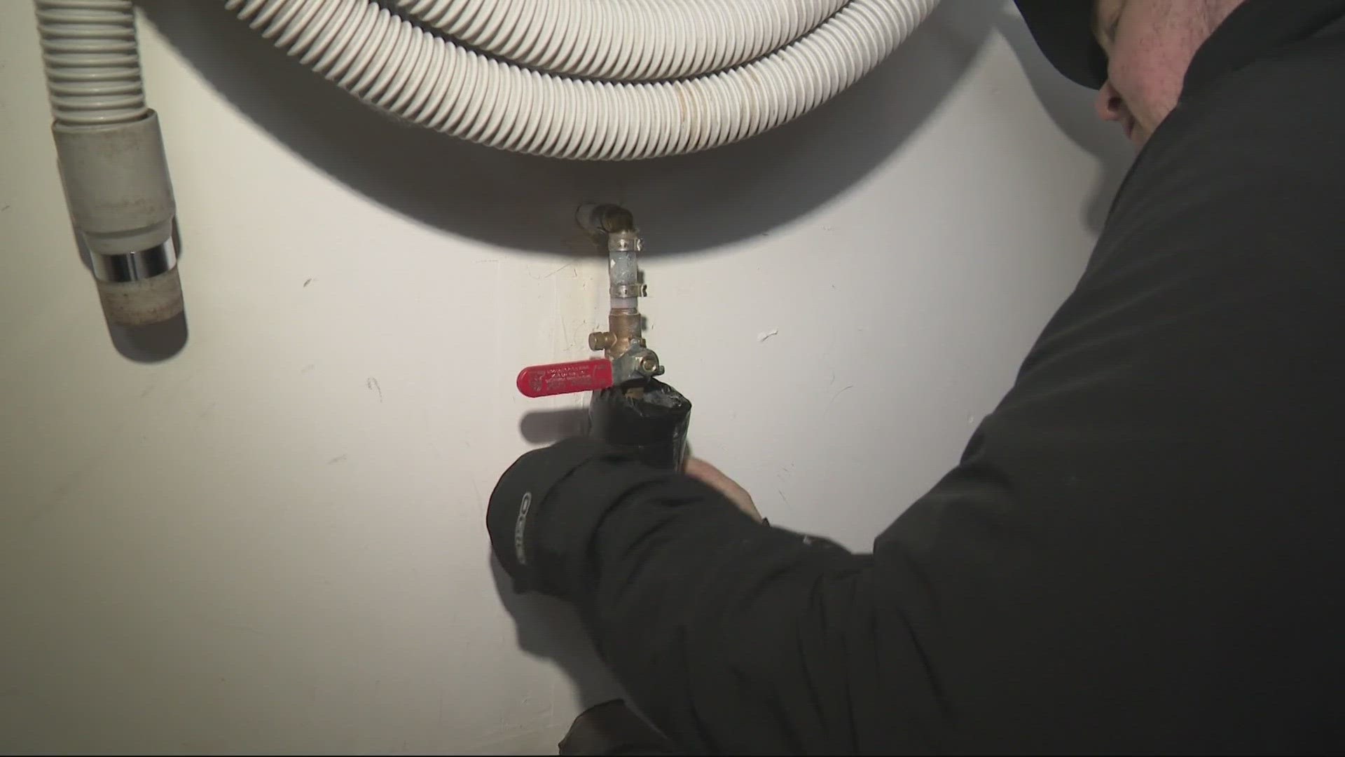
Snow and ice accumulation could make travel difficult and falling tree limbs could cause power outages. City and county officials are urging residents to avoid traveling over the weekend if possible and make sure their homes are prepared. The temperatures may get cold enough that the roads remain icy even if crews put down salt and sand on top.
"The accepted temperature for salt not being real effective is about 20 degrees," KGW meteorologist Chris McGinness said.
Temperatures could feel even colder in the Columbia River Gorge or in the Cascades due to higher wind, KGW chief meteorologist Matt Zaffino added — as much as 25 degrees below zero.
And despite the severe cold in Portland, the region is only going to catch the outer edge of the arctic blast. Places in eastern Oregon and Washington are expected to face even colder temperatures this weekend, including a low of 14 degrees Sunday morning in Seattle, which would be the coldest temperature in the city in more than a decade. Spokane is already down to single-digit temperatures and is expected to go negative on Saturday.
How long will the cold temperatures last?
The winter storm on the way for Saturday is caused by another weather system bringing warm moisture in from over the Pacific Ocean and intersecting with the arctic blast. Conditions are expected to dry out after Saturday but remain very cold, with overnight lows in the teens Saturday, Sunday and Monday nights.
Daytime highs will increase each day after Saturday, but likely still only reach 32 degrees on Monday, so the Portland region likely won't see above-freezing conditions again until Tuesday, when temperatures are expected to rise back to around 40 degrees.
Tuesday night will bring a fresh round of precipitation with overnight temperatures still well below freezing, leading to the possibility of more wintry weather early Wednesday morning — although it should give way to rain as temperatures climb to around 40 again that day.
Staying safe in the cold
Older adults are among the most vulnerable during snow and icy conditions, Dr. Anne Toledo with Kaiser said, because they can more commonly have balance issues and are at higher risk of injury from falls. People with heart problems can also be at greater risk of overexertion if they go outside in winter weather conditions.
The cold temperatures pose an especially high risk for people living on the streets, she said, which is why cities and counties open warming shelters for homeless residents. Portlanders should not hesitate to call for help if they come across a homeless person who appears to be suffering from cold exposure, she said.
"Some signs of cold exposure that are earlier signs are things like obviously shivering, everyone's experienced that — feeling unusually tired and sleepy, being clumsy, noticing that you're less coordinated than normal or bumping into things or you're walking is not as steady," she said. "Those are bad signs that you're actually having a problem with the cold. And then finally, being confused or disoriented."
Lethargy and confusion are signs of hypothermia, agreed Dr. Joshua Russell with Legacy Go-Health Urgent Care, and a body temperature below 95 degrees is also a sure sign that a person is at risk. People who have to go outside this weekend should wear as many layers as is comfortable, he said, and avoid staying in the cold for long periods of time.
"If you're going to go outside, gloves, a hat, those kind of things are really important for protecting your extremities," Russell said. "Frostbite can happen, especially in the fingers and toes."
Red, painful prickling on fingers or other extremities are early signs of frostbite, Toledo added. Hill also suggested wearing a face mask, and Bruno said people going outside should wear multiple layers and waterproof jackets.