
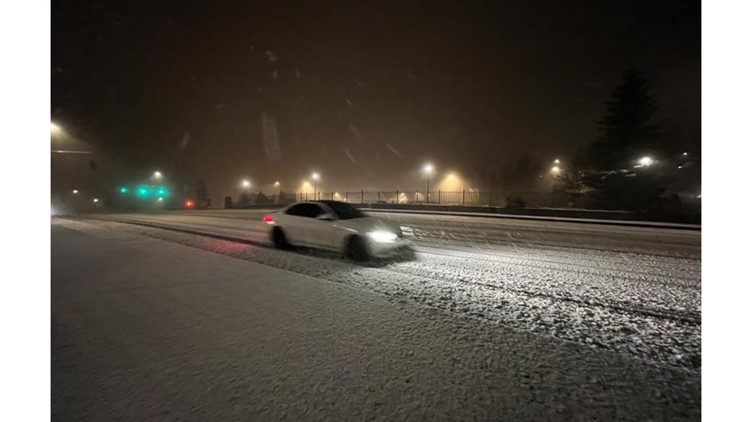
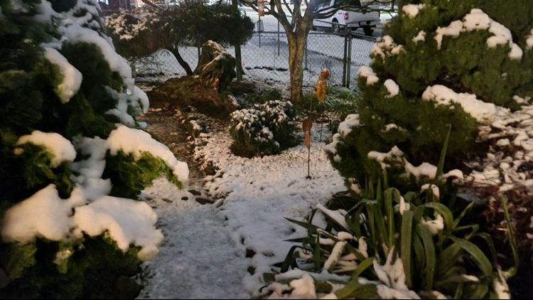
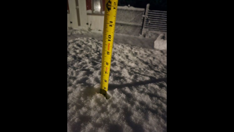
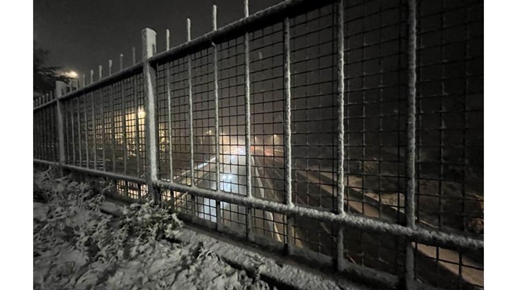
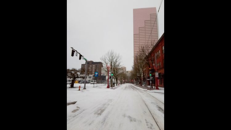
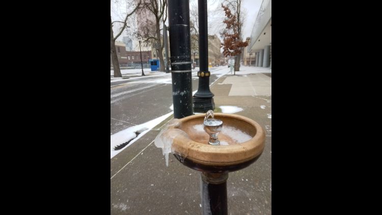
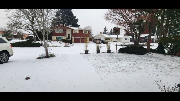
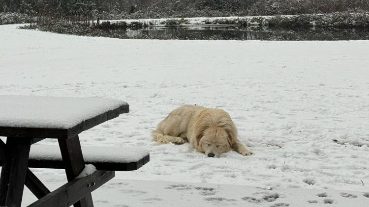
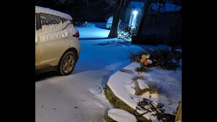
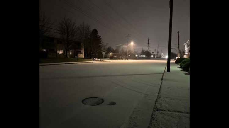
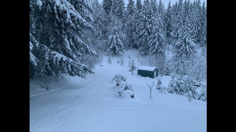
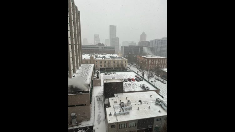
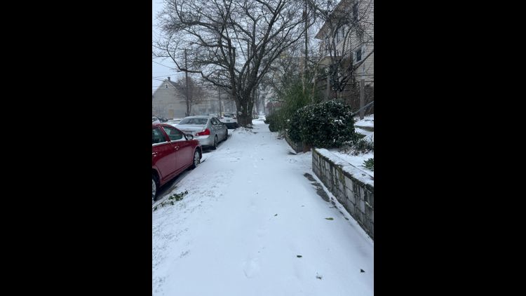
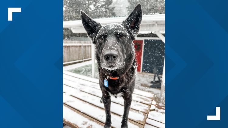
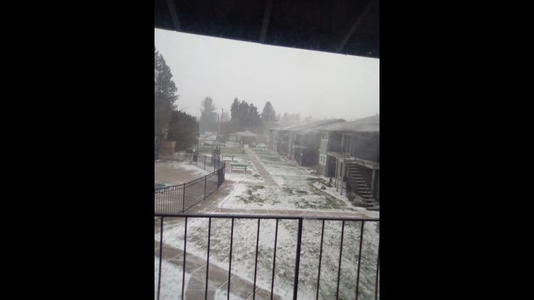
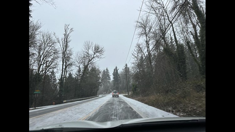
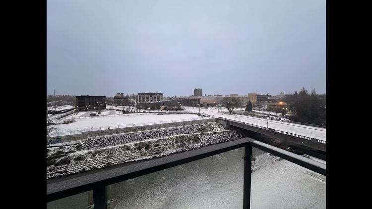
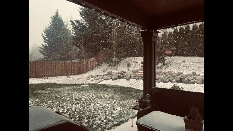
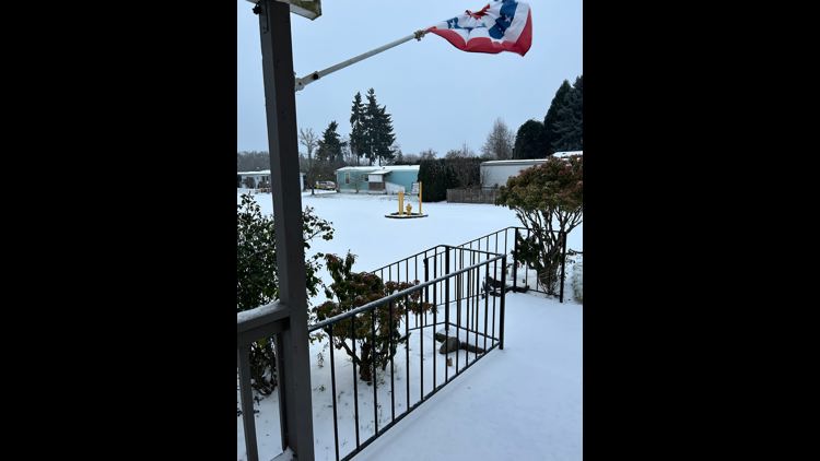
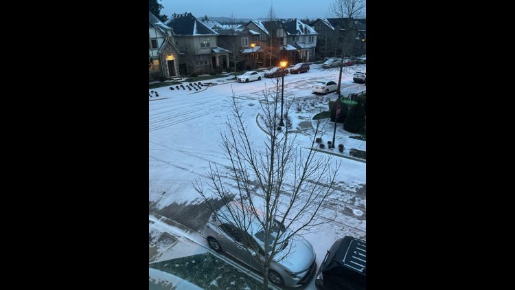
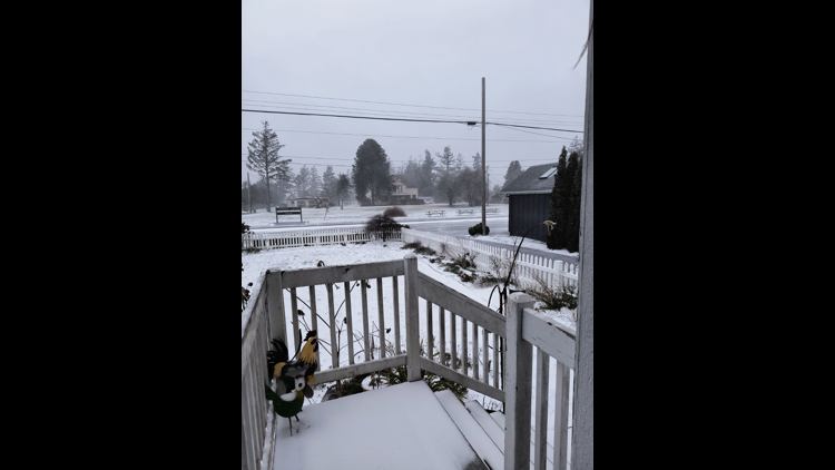
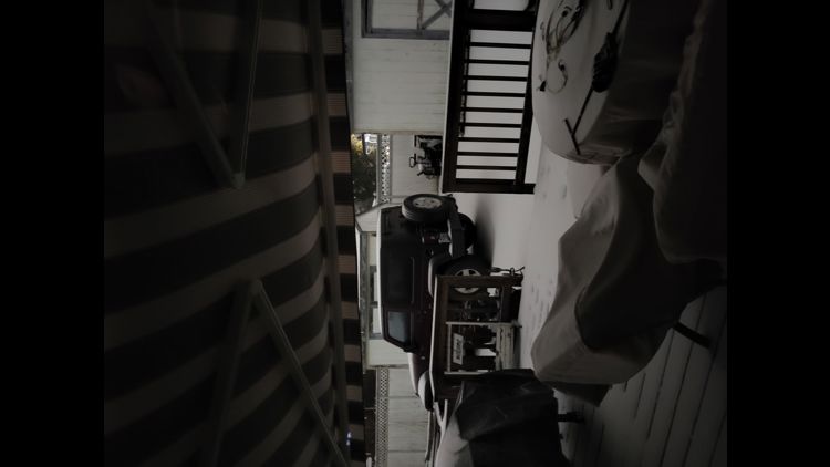
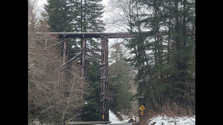
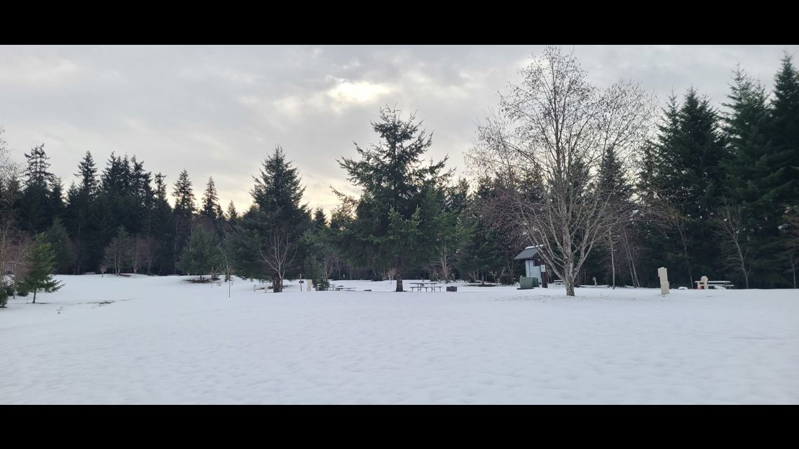
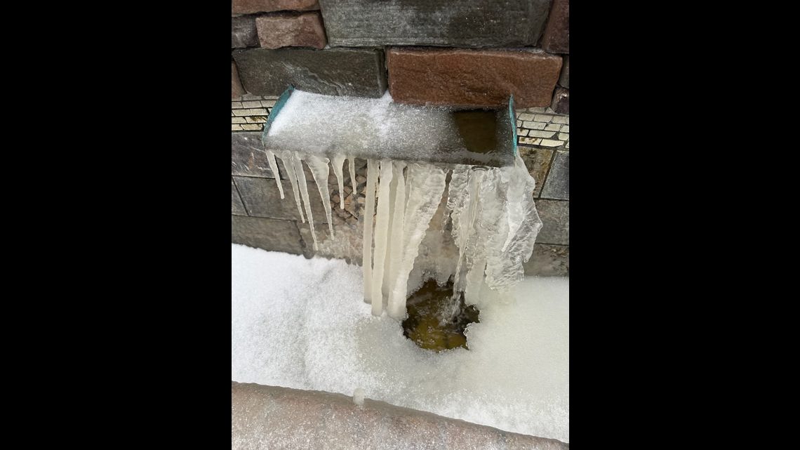
PORTLAND, Ore. — Many parts of the Portland metro area got a first quick taste of snow Tuesday night after an unseasonably warm December, but a bigger round of winter weather is just around the corner. The National Weather Service (NWS) has issued a Winter Storm Watch for the Portland and Vancouver area, starting Friday at noon and lasting through late Saturday night, and is warning residents to prepare for significant impacts.
According to KGW Chief meteorologist Matt Zaffino, showers will continue overnight as temperatures stay above freezing. The warmest part of Friday will be in the early morning.
Due to Arctic air pushes through the Gorge and across northwest Oregon and southwest Washington Friday. We’ll likely see some light snow as that happens, 1 or 2 inches, Zaffino said.
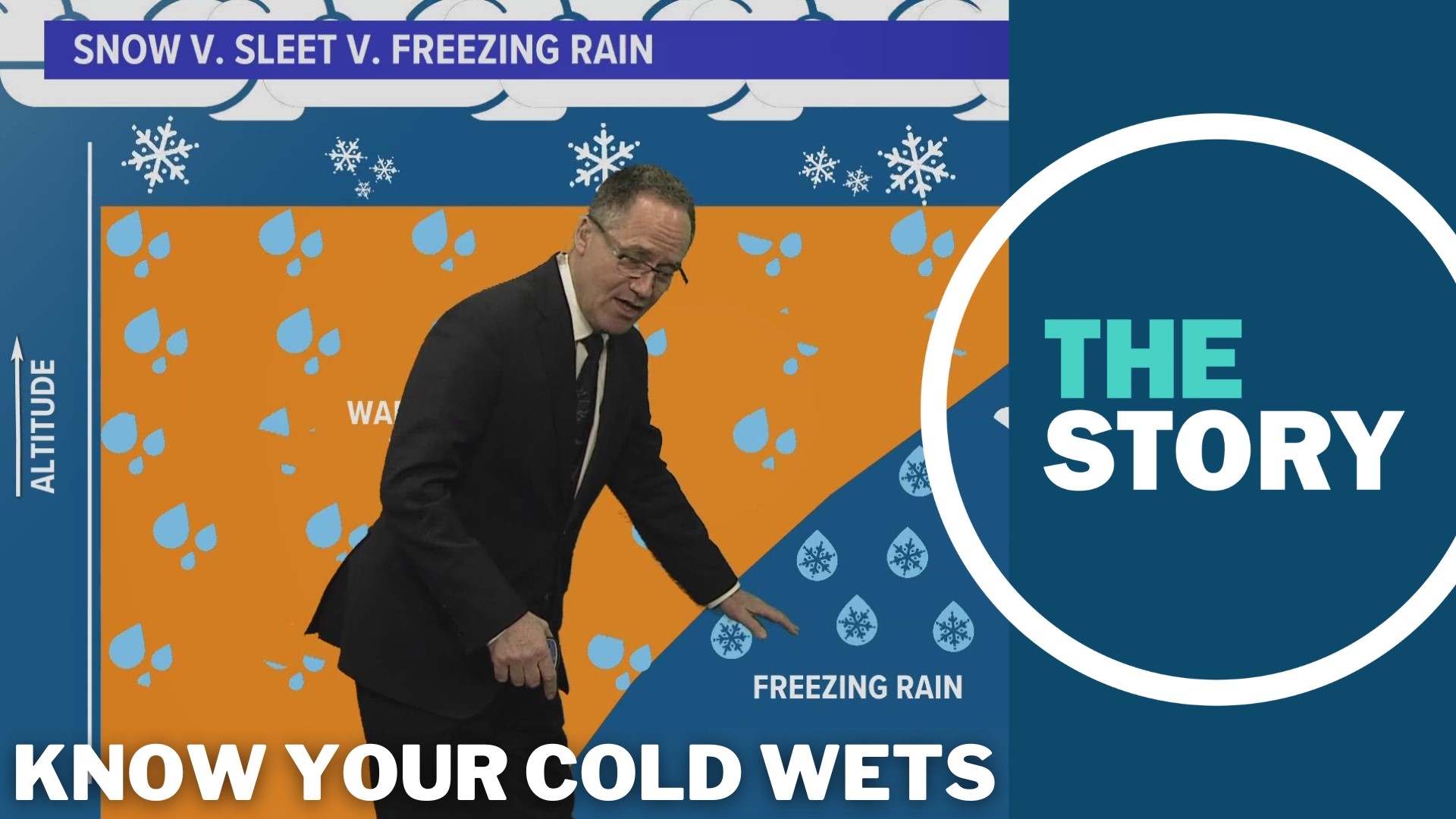
The forecast for the location of the heavy snow and exact amounts may yet fluctuate as this storm takes shape. A lot depends on exactly where the Pacific storm makes landfall. South of the snow, there’s almost certainly going to be an area of heavy freezing rain. Most likely from Salem south to Eugene, but that area may shift depending on where the storm comes onshore
KGW meteorologist Rod Hill said that temperatures will start near 40 degrees early Friday before they start to drop below freezing during the day. The amount of snow that falls or accumulates is still up in the air, Hill said.
"How much snow? That's a complete unknown as to whether we're going to get snow stacking up to where it impacts traffic big-time or if we just see snow showers," Hill said.
Friday night will see a possible icy mix start to develop. Friday overnight, going into Saturday, could be anything from "snow pockets to freezing rain to sleet in our area," Hill said. The wind chill Saturday will also be a significant factor. Hill said it will be "bitterly cold with that air coming in" from the east.
By Saturday morning, temperatures drop into the teens. A Pacific storm with copious amounts of moisture approaches the Oregon Coast Saturday. This provides the moisture that combines with the Arctic air to drop heavy snow, most likely in the northern Willamette Valley, on Saturday, according to Zaffino.
"Temperatures Saturday morning in parts of the valley down into the teens, with east winds gusting, will make it feel like — in Portland, Salem and Vancouver — it's anywhere from zero to about 10 degrees above zero," Hill said. "We don't get that type of cold very often."
The winter storm forecast is being fueled by an expected convergence of a warm, moisture-heavy weather system over the Pacific Ocean that's moving toward the Pacific Northwest while a mass of cold Arctic air is descending across Canada toward the northern United States at the same time.
Hill said the precipitation totals for this winter storm are tough to pin down because of uncertainty about what will happen with the moisture coming in from the Pacific Ocean.
"The combination of east winds coming out of the gorge and not knowing exactly what all the moisture out in the Pacific is going to do — where it's going to go — makes the precipitation forecast very difficult to pinpoint," he said.
As icing begins to develop in parts of the valley Saturday, both significant ice and snow accumulation is a possibility. Travel could be very difficult throughout the weekend, the NWS warned, and the combination of ice and possible 35 mph wind gusts may damage trees and cause power outages. The Winter Storm Watch covers the entire metro area, from the coast through the valley to the gorge.
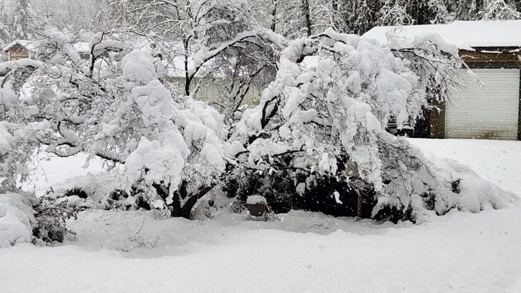
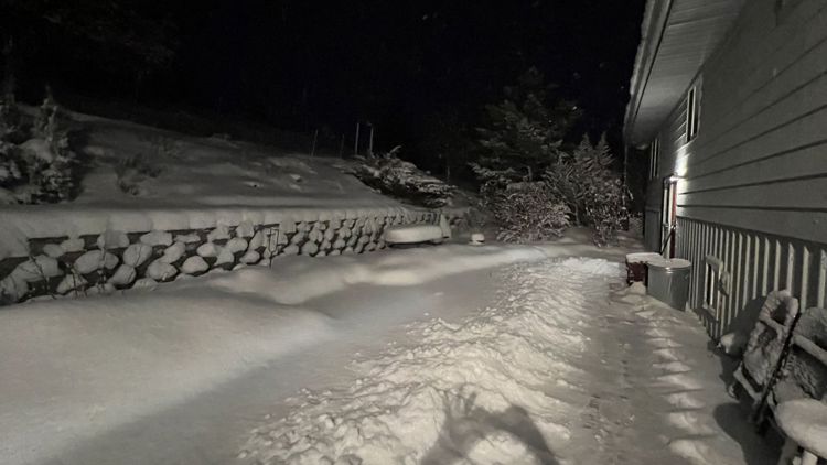
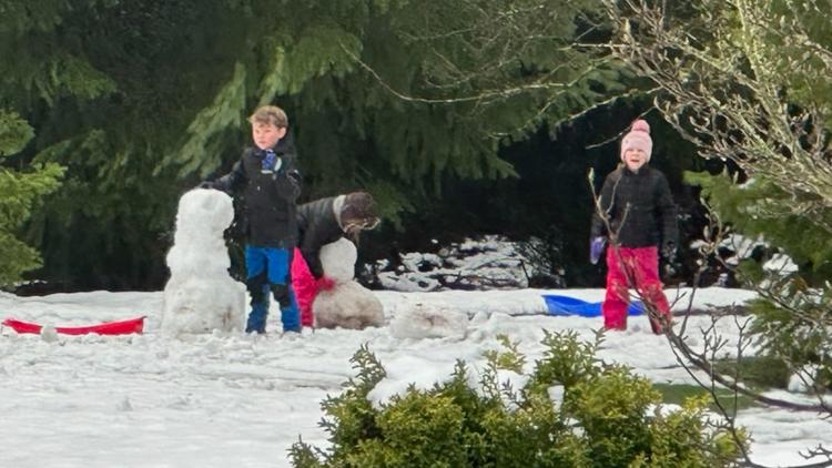
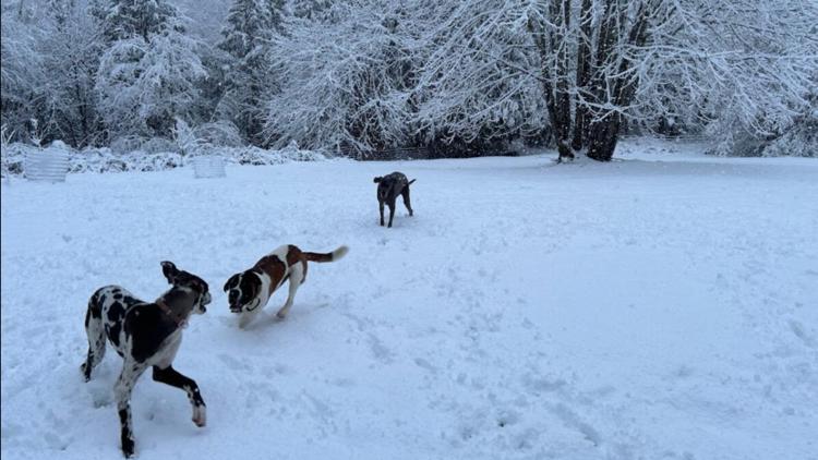
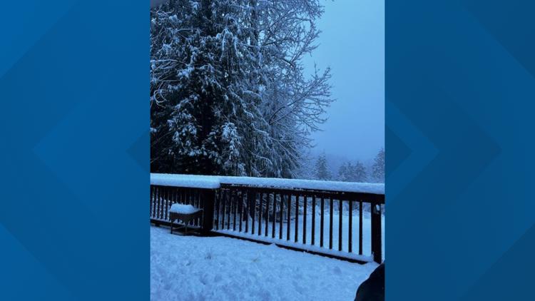
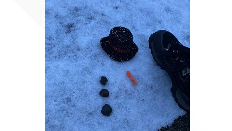
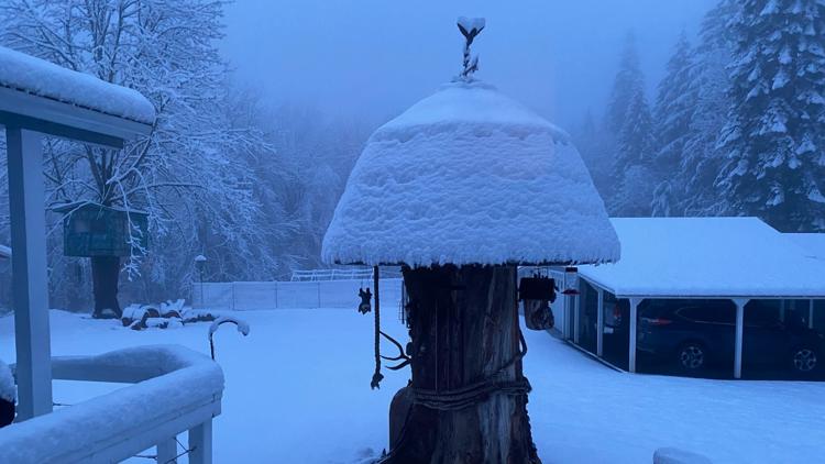
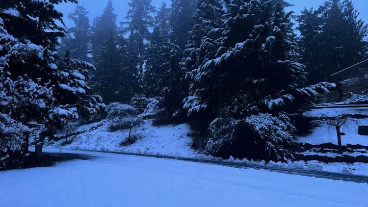
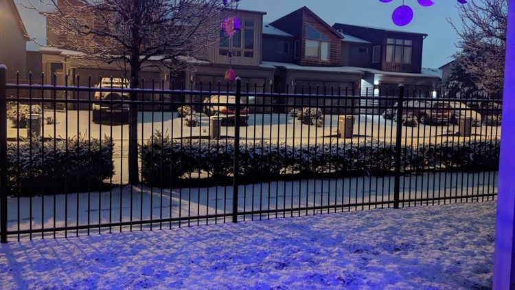
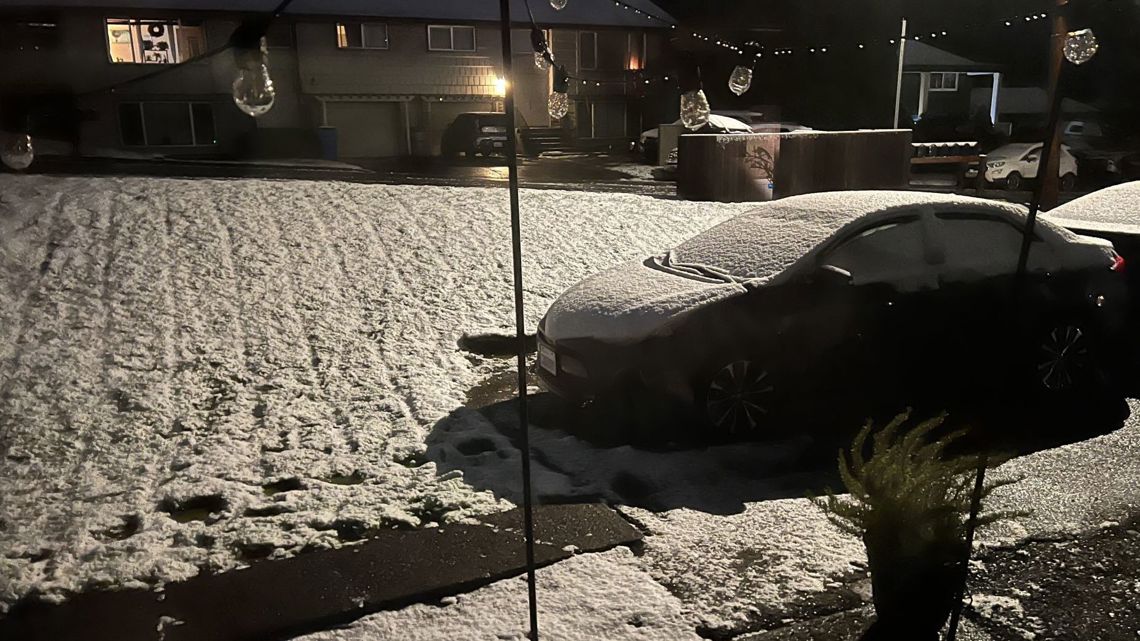
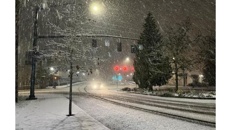
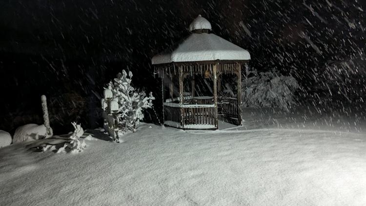
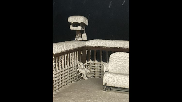
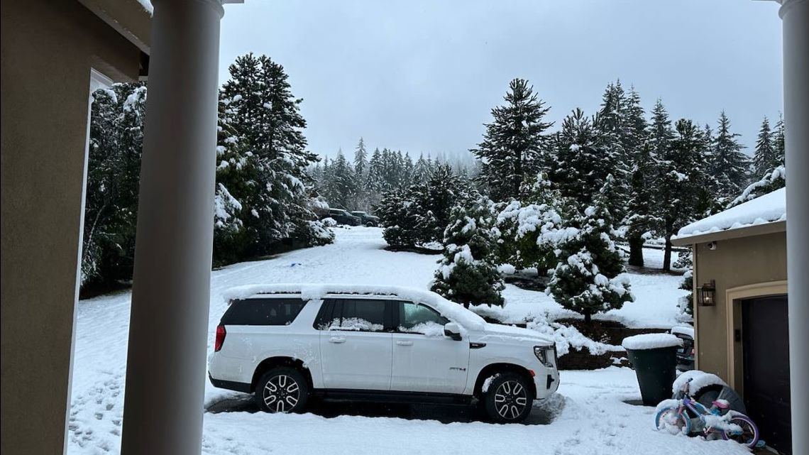
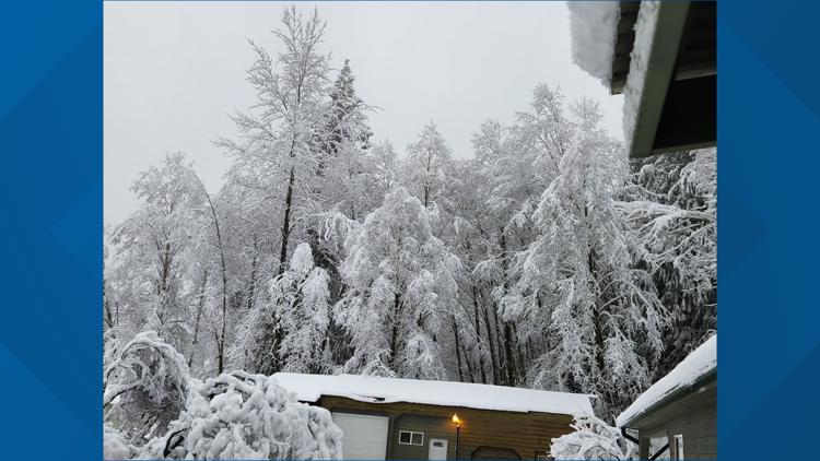
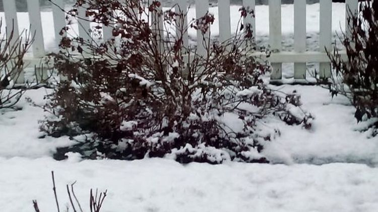
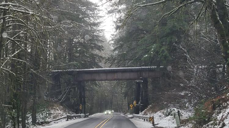
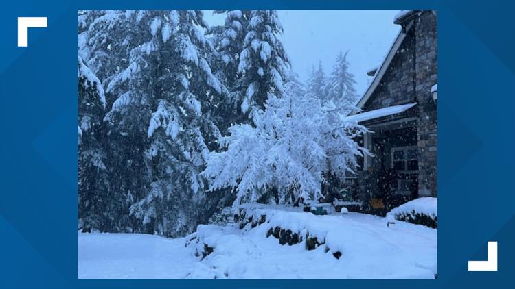
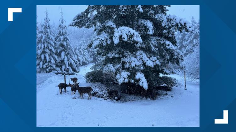
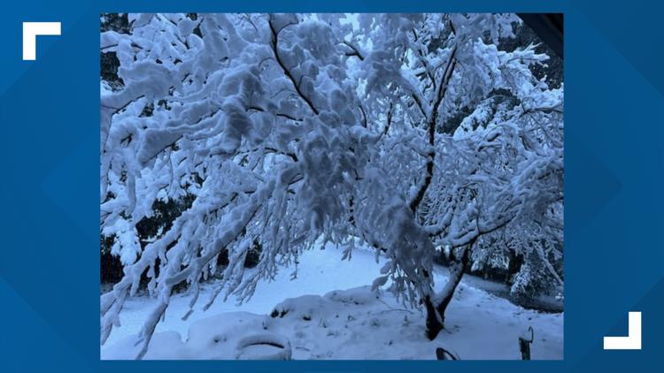
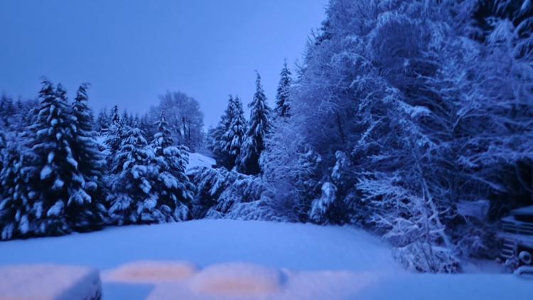
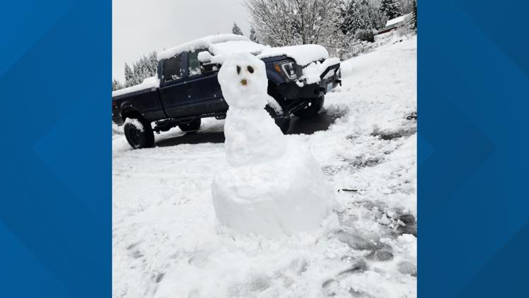
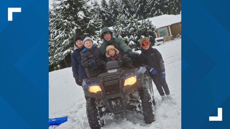
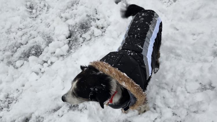
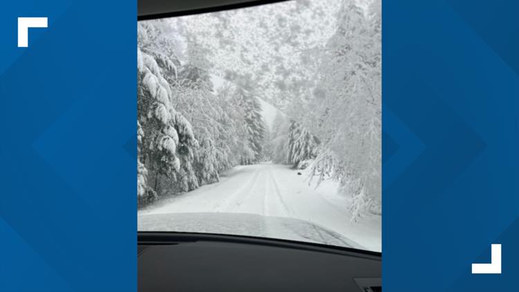
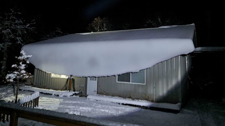
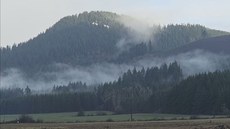
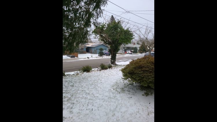
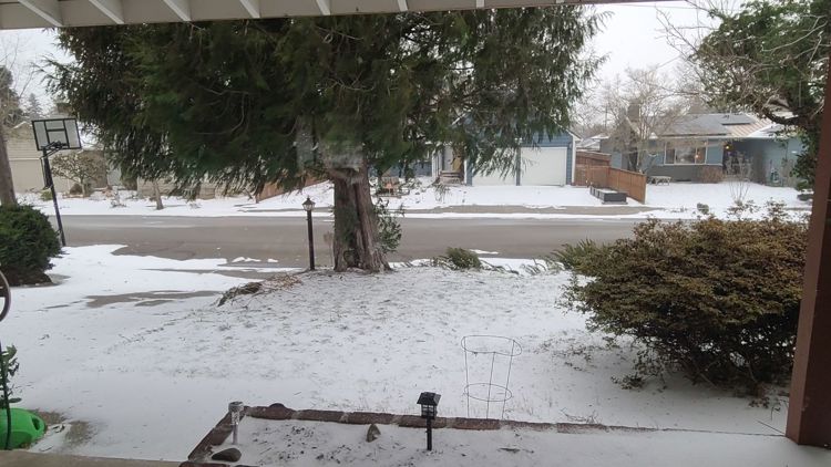
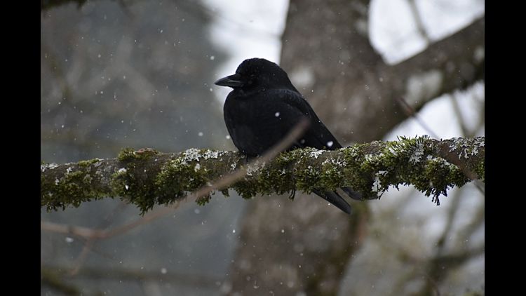
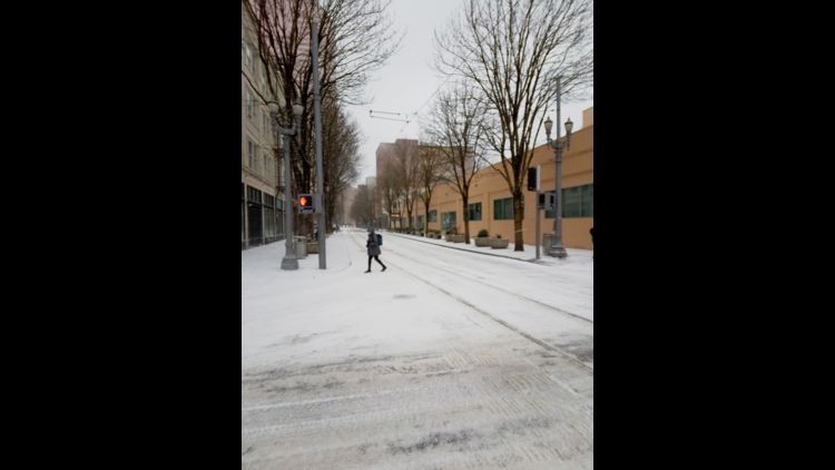
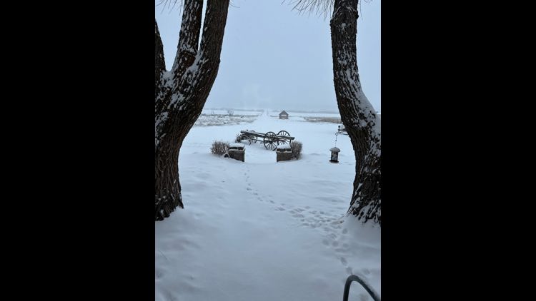
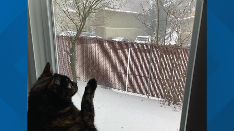
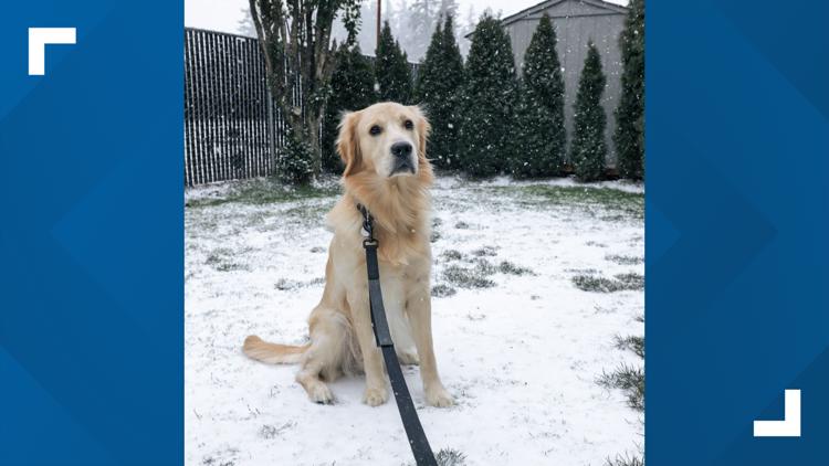
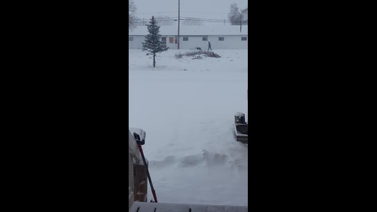
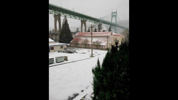
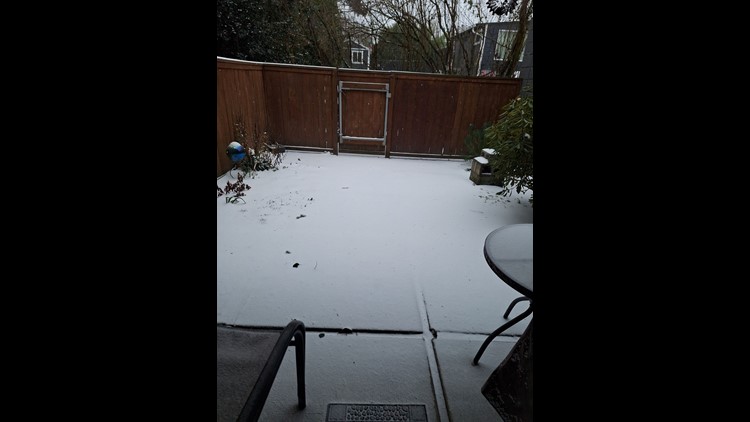
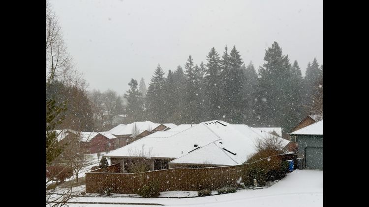
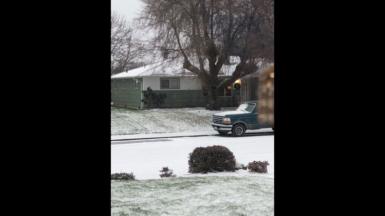
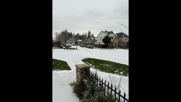
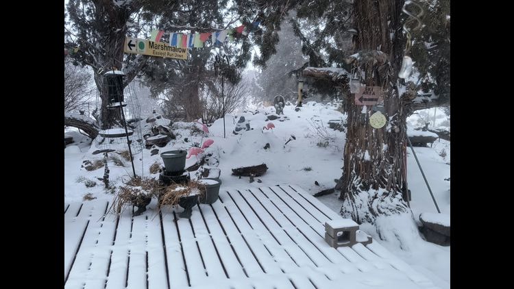
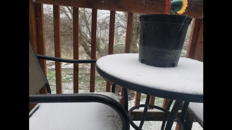
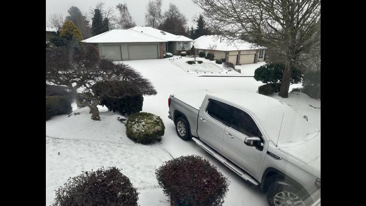
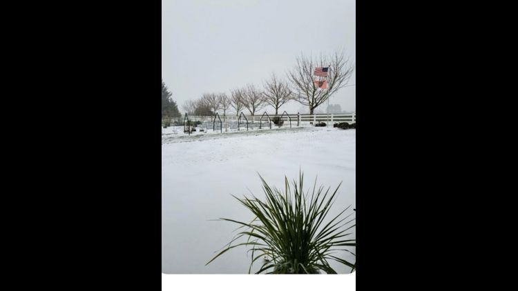
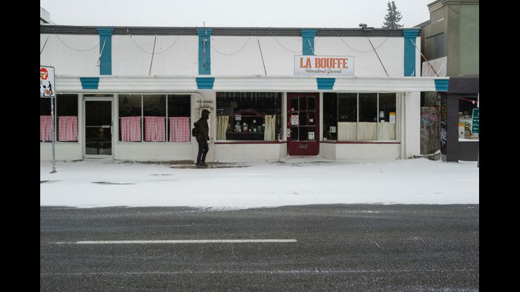
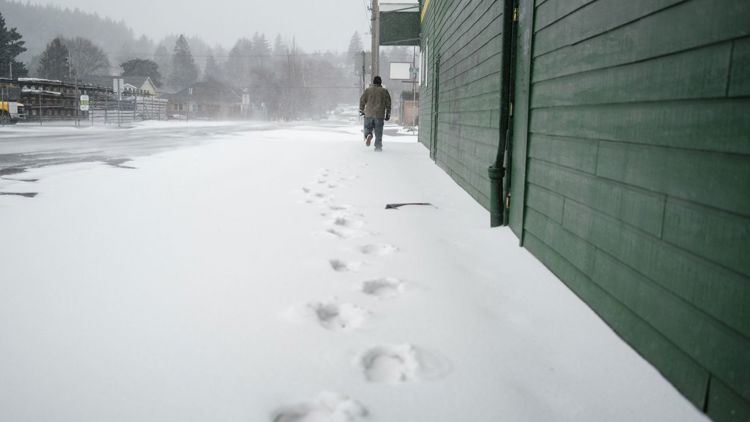
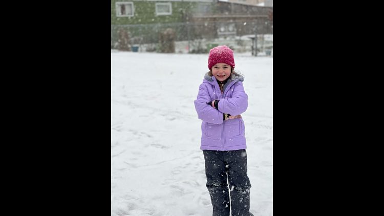
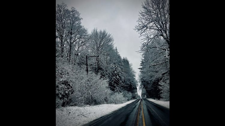
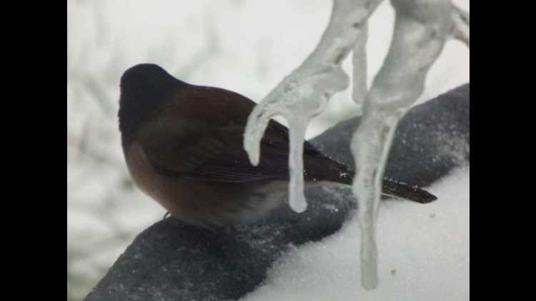
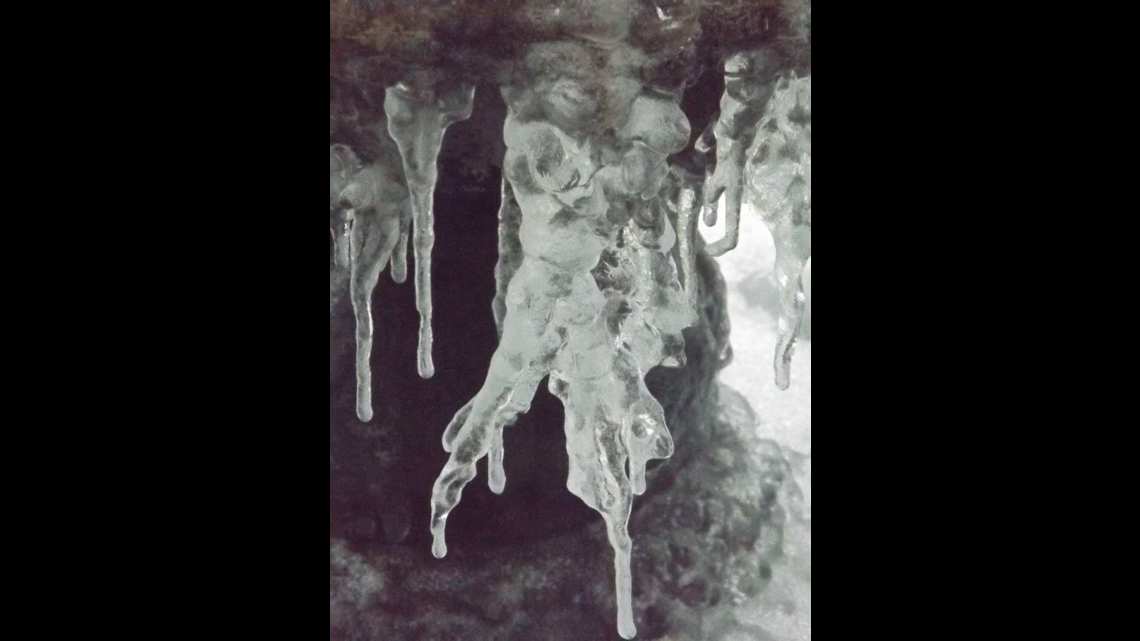
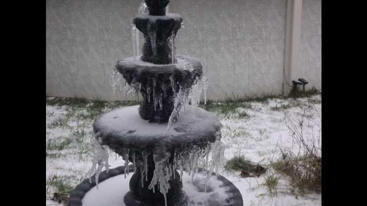
PHOTOS: Snow falls in Portland area, southwest Washington


A separate Winter Storm Watch is also in effect for the northern Oregon Cascade foothills and the Silver Falls State Park area starting Thursday afternoon and extending through Saturday afternoon. Areas above 1,500 feet could see heavy snow, with 1-3 feet of possible accumulation.
KGW chief meteorologist Matt Zaffino warned early Thursday that blizzard conditions could develop in the Columbia River Gorge on Friday, with heavy snow, wind gusts up to 55 mph, temperatures in the teens and freezing spray on the river, all of which creates a significant chance of traffic through the Gorge being blocked or closed.
The south end of the Willamette Valley could also get hit harder than the Portland area, he said, with the possibility of an ice storm between Salem and Eugene.
The NWS updated its criteria for issuing Winter Storm Watch and Winter Storm Warning notices last year, which are based on location and expected snowfall. The update means Oregon is likely to see more frequent alerts, with the threshold for Portland now set at 3 inches of forecasted snow.