
PORTLAND, Ore. — Despite a wet winter across much of the Pacific Northwest, fire season is now well underway in Oregon and Washington after successive weeks of hot, dry weather heading into summer. Fire officials have predicted above-average potential for dangerously large fires for nearly all of Washington and a broad swath of Oregon this year.
There are currently multiple wildfires burning in the region, the details of which will be continuously updated below. Note: No fire that is more than 90% contained will be listed. Information about fire acreage and containment percentage are approximate.
The updates below are for the morning of September 12, 2023.
Flat Fire
- Location: In the Rogue River-Siskiyou National Forest, two miles southeast of Agness and east of Gold Beach.
- Acreage: 34,242 acres
- Cause: Believed to be human-caused but the particulars are still under investigation.
- Began: July 15
- Containment: 75%
- Closures: Highway 199 is closed north of Gasquet. The Rogue River Siskiyou National Forest has issued a closure order for the fire area, including trails, roads, and a portion of the Illinois River.
- Evacuations: Level 1 "Get Ready" evacuation orders for areas around the fire remain in place near the Flat Fire.
- More info: Visit the Flat Fire information page on Facebook or go to the Flat Fire's entry on Inciweb.
Bedrock Fire
- Location: Near the Bedrock Campground in the Fall Creek area southeast of Eugene.
- Acreage: 31,590 acres
- Cause: Under investigation
- Began: July 22
- Containment: 90%
- Closures: The Willamette National Forest has reduced its closure order and many trails and other recreation sites have reopened.
- Evacuations: As of Sept. 11, all evacuation orders have been lifted.
- More info: Visit the Bedrock Fire information page on Facebook or go to the Bedrock Fire's entry on Inciweb.
Lookout Fire
- Location: In the Willamette National Forest, three miles north of the community of McKenzie Bridge.
- Acreage: 24,518 acres
- Cause: Lightning
- Began: August 5
- Containment: 50%
- Closures: Highway 242, McKenzie Highway, is closed between milepost 61-76, 14 miles west of Sisters, Oregon to just east of the junction with Highway 126. Highway 126 is currently open.
- Evacuations: For the latest on evacuation notices in Lane County, click here. For the latest on Linn County evacuations, click here.
- More info: Visit the Lookout Fire's information page on Facebook and this evacuation info page or go to the Lookout Fire's entry on Inciweb.
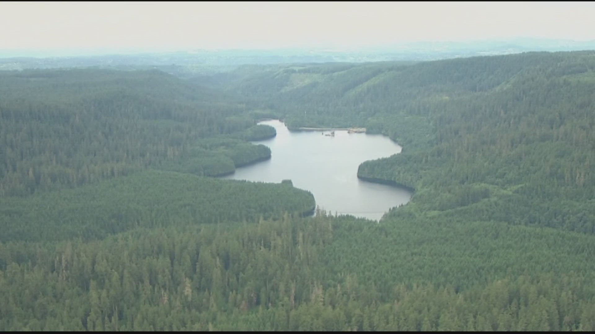
Camp Creek Fire
- Location: Less than two miles from the Bull Run reservoirs near Sandy
- Acreage: 2,023 acres
- Cause: Lightning
- Began: Aug. 24
- Containment: 44%
- Closures: The Sandy Ridge Recreation Area and the Barlow Wayside Park are temporarily closed.
- Evacuations: There are currently no evacuations.
- More info: Visit the Camp Creek Fire's entry on Inciweb.
Tyee Ridge Complex Fire
- Location: Southeast of Roseburg
- Acreage: 7,922 acres
- Cause: Lightning
- Began: Aug. 24
- Containment: 53%
- Closures: People are asked to avoid Hubbard Creek Road at Millwood Drive.
- Evacuations: There is a Level 3 "Go Now" evacuation notice for people in the 11000 block of Hubbard Creed Road to Millwood Drive. A Level 2 "Be Ready" evacuation order is in place from Hubbard Creek Road from the Millwood Drive intersection to Melqua Road. There is a Level 1 "Be Set" evacuation order for Tyee Road at the intersection with Rock Creek Road to Fanchin Lane.
- More info: Visit the Tyee Ridge Complex Fire's official Facebook page or check the fire's entry on Inciweb.
Smith River Complex North Fire (Oregon side)
- Location: On the southwest Oregon/California border
- Acreage: 86,748 acres total/10,276 acres in Oregon
- Cause: Lightning
- Began: Aug. 15
- Containment: 21%
- Closures: Visit the U.S. Forest Service's website here for information about the Rogue River-Siskiyou National Forest's road closures. Check the Bureau of Land Management Coos Bay District's website for details on an emergency closure of public lands near the Oregon/California border.
- Evacuations: As of Sept. 11, a Level 1 "Be Set" evacuation order is in effect for O'Brien area, including Takilma and east of US-199 from mile post 39 to the Oregon-California border.
- More info: Visit the Smith Complex North Fire's official Facebook page or the fire's entry on Inciweb.