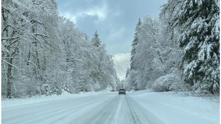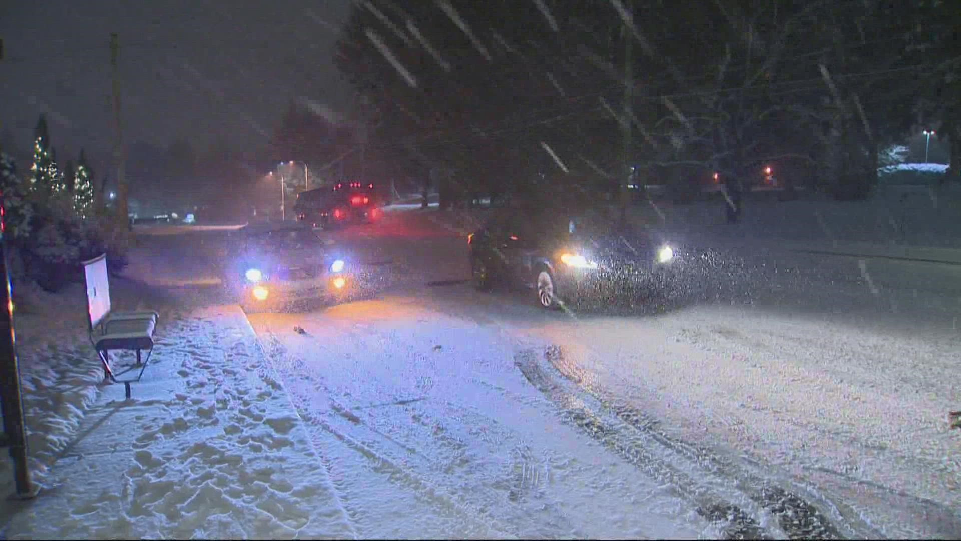
PORTLAND, Ore. — The Portland Bureau of Transportation (PBOT) said it closed two roads Tuesday morning because of icy conditions. One of those roads has been reopened.
As of 12:25 p.m., Southwest 16th Avenue remains closed between Davenport Street and Hall Street, according to the city of Portland's website.
Northeast Gilham Avenue between East Burnside and Davis Street reopened around 2:25 p.m.
"Those are primarily neighborhood streets that are especially steep," said PBOT spokesperson Hannah Schafer.
Travelers can see a list of road closures in Portland here. State and local agencies also said commuters should check tripcheck.com before they hit the road.
In Washington County, chains or snow tires were being required Tuesday morning in snow zones on Southwest 175th Avenue between Scholls Ferry Road and Rigert Road; on Barnes Road, from 118th Avenue east to the county line; and on Cornell Road, from Cedar Hills Boulevard east to the county line.
For commuters who use public transportation, TriMet spokesperson Tia York told KGW on Tuesday morning that they had no major weather-related impacts for buses or trains Tuesday morning. Two bus lines — 18 (Hillside) and 63 (Washington Park) — were canceled and York said several other lines were on detours while waiting for conditions to improve.
York said MAX, WES and LIFT are running smoothly. Travelers should check trimet.org/alerts before they leave to see the latest on delays, detours or cancellations.
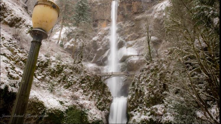
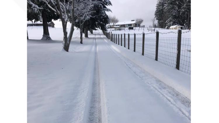
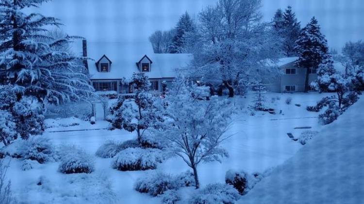
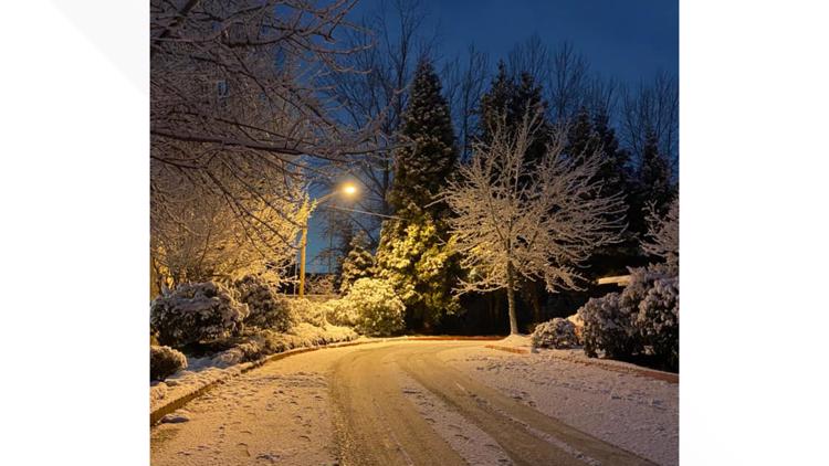
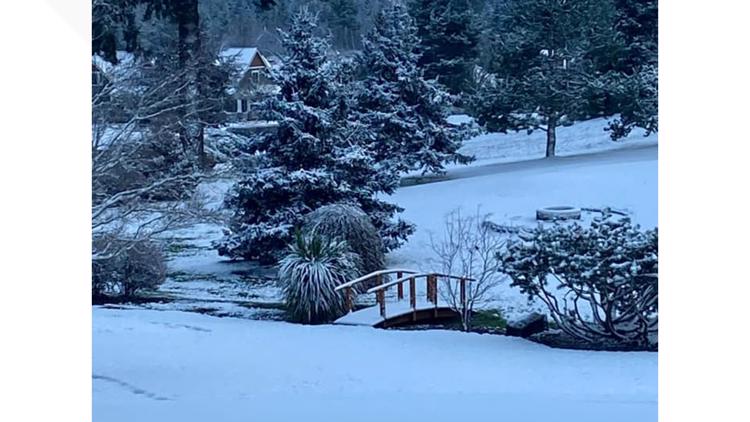
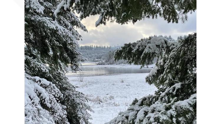
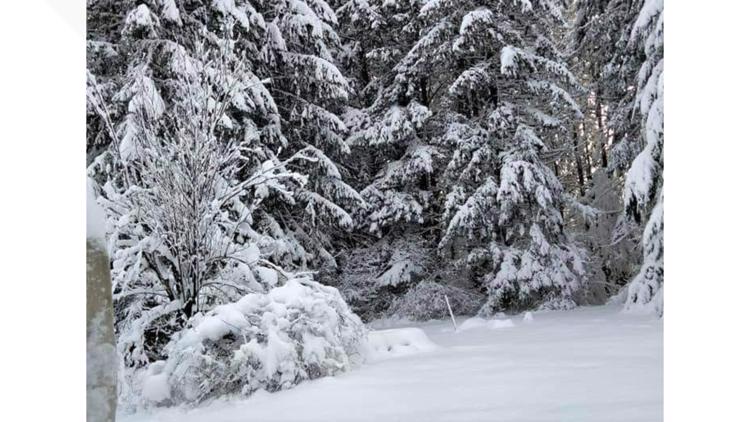
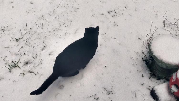
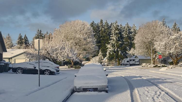
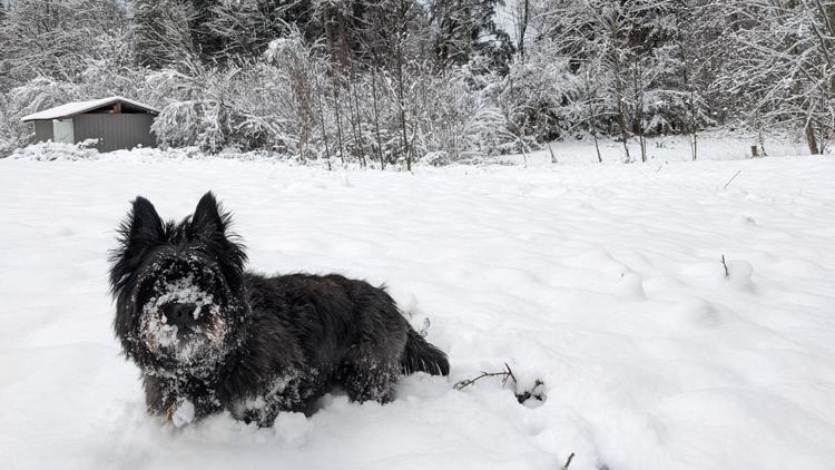
KGW meteorologist Rod Hill said 1 to 2 inches of new snow fell overnight across much of the Portland-Vancouver area and south to Salem. Hill said there will some scattered flurries Tuesday during the day. Tuesday night will be dry and cold, Hill said, with some valley locations dipping to near 20 degrees.
Wednesday will be dry and partly cloudy before the next weather system arrives Thursday morning, Hill said.
Thursday may bring more snow during the morning hours, possibly transitioning into a wet mix during the afternoon. Hill said significant snow and a possible icy mix are also a possibility. "Thursday's forecast should be watched closely," he said.
Hill said Friday and Saturday should be dry with valley rain returning Sunday.