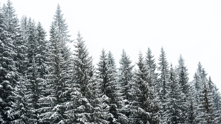
PORTLAND, Ore. — Snow began to fall in the Cascades on Sunday, bringing several inches of fresh powder to Timberline Lodge by early evening hours.
The National Weather Service has issued a winter storm warning for the Oregon and Washington Cascades, including Sandy, Government Camp, Detroit and Santiam. The warning lasts through early Tuesday morning but the heaviest snow is expected to fall Sunday night into Monday.
While over 6 inches of snow could fall around 1,000 feet, no flakes are forecasted on the valley floor with snow levels sitting between 500 and 1,000 feet. KGW Meteorologist Matt Zaffino says he doesn't expect any snow to accumulate below 500 feet.


The Coast Range and Willapa Hills are also under a winter weather advisory through Tuesday. The NWS expects several inches of snow to fall there in areas over 1,000 feet.
When Tuesday rolls around, temperatures will start to warm and snow levels will rise. But mountain snow is expected to continue through the week.
Check your elevation
Below is a four-page chart showing the elevations for some areas around Oregon and southwest Washington. You can either scroll through each page and look for your city or nearest landmark, or type it into the search bar.
Don't see your city? The National Weather Service (NWS) website has an in-depth elevations chart on their website.
KGW Weather Links: