
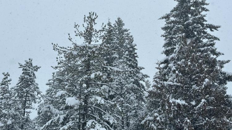
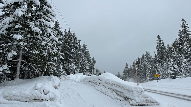
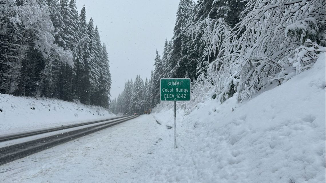
PORTLAND, Ore. — The Cascades and the Oregon Coast Range could see heavy accumulations of snow through Sunday, while there's a chance each day at any time for a rain and snow mix over the Portland metro area.
A Winter Weather Advisory is in effect for parts of the Cascades while the coast is under a Winter Storm Warning, according to the National Weather Service (NWS) in Portland.
At the pass level, the Cascades could see eight inches of new snow each day, according to KGW meteorologist Rod Hill. Roads through both mountain ranges are snow-covered, slowing travel. Drivers should expect winter driving conditions, the NWS said.
The sticking snow level is generally holding around 1,500 feet, Hill said, and has dipped to 1,000 feet at times. However, he said some areas of the Oregon coast have seen snow as low as around 500 feet.
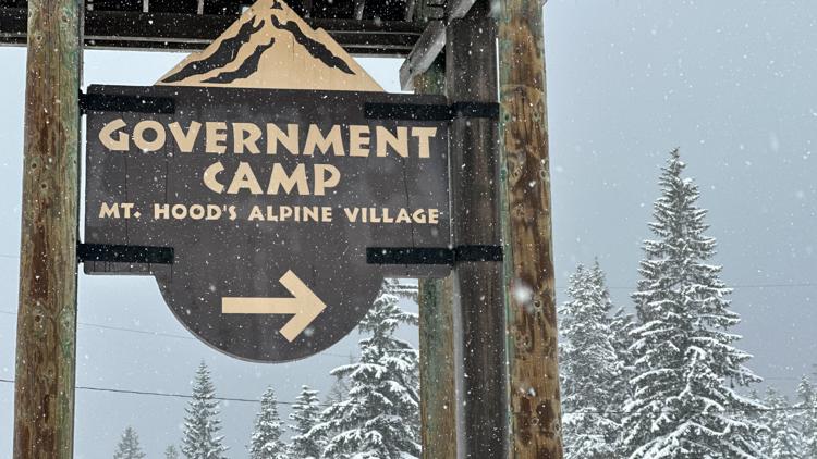
PHOTOS: Snow in the Oregon Cascades


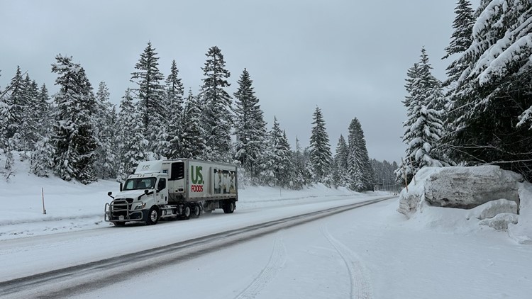

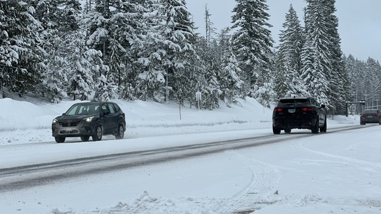
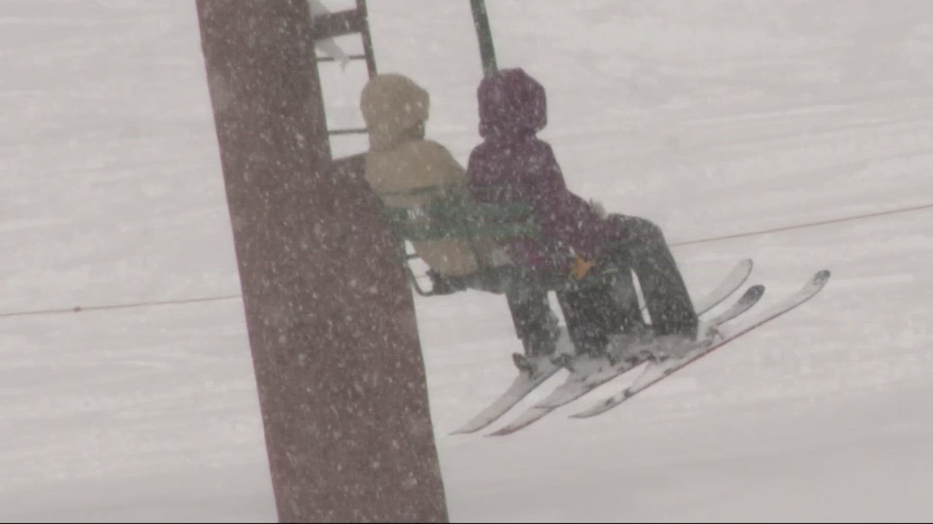
Chains or snow tires are required on some highways, but many skiers were eager to brave the snowy conditions.
"We were driving up here saying it feels like its December," Jennifer Zeman said. "It's so much fun. I just love even walking around in it."
Zeman and her daughter Kylie hit the slopes at Timberline on Friday.
"The snow looked really good," Kylie said. "I think there’s going to be some fresh powder so (we're) going to go try and find that."
Another skier, Kate Parks, made the drive from Sandy and said she was 'holding out' for a storm like this.
"I had faith, I had all the faith," she said. "We're stoked."

Rain/snow mix in the Willamette Valley
While March 1 marks the first day of meteorological spring, it's hard to tell from the forecast in the Portland metro area. Some areas with higher elevations saw a mix of rain and wet snow on Friday, and lower elevations saw mostly rain. That will continue into the weekend.
"If there’s some breaks in the cloud cover and some dry time — maybe in Gresham, maybe in Hillsboro, maybe down in McMinnville — we get temperatures falling to 32 (degrees) and then right after the happens, a shower moves in that would be snow," Hill said. "Then you have a brief dusting that would then go on to melt once the sun pops up and gets going."
Hill said there's at least a chance of a patchy, overnight dusting of snow on the valley floor, but anything that falls will quickly melt during the daytime.
The NWS said there will be no travel impacts for elevations below 300-500 feet, as ground temperatures will be too warm for snow to accumulate.