
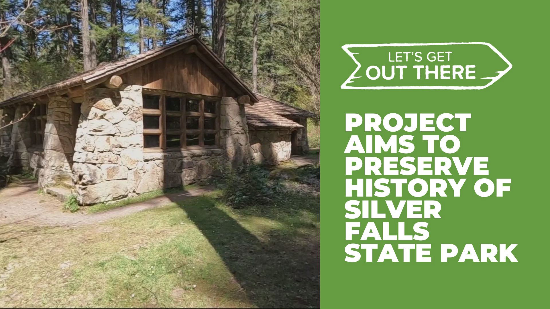
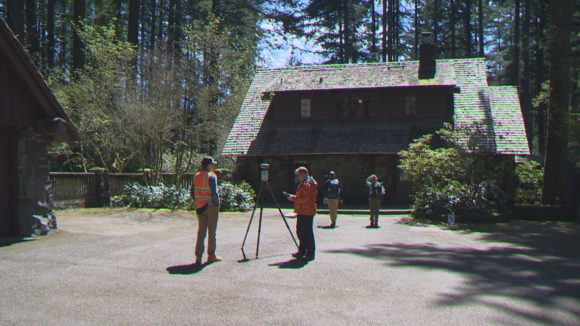
MARION COUNTY, Oregon — This week's Let's Get Out There, highlights preservation efforts at Silver Falls State Park. On April 24, a team from Oregon State University (OSU) worked around three of the park's historic buildings.
The sights and sounds of Silver Falls State Park are unmistakable. Over a million visitors enjoy the park each year. If you stopped by on Wednesday, you would have seen some unusual activity.
“We're here to celebrate what we’ve got and preserve it as best we can with the tools we have,” said Todd Kesterson, a senior instructor with Oregon State University’s New Media Communications.
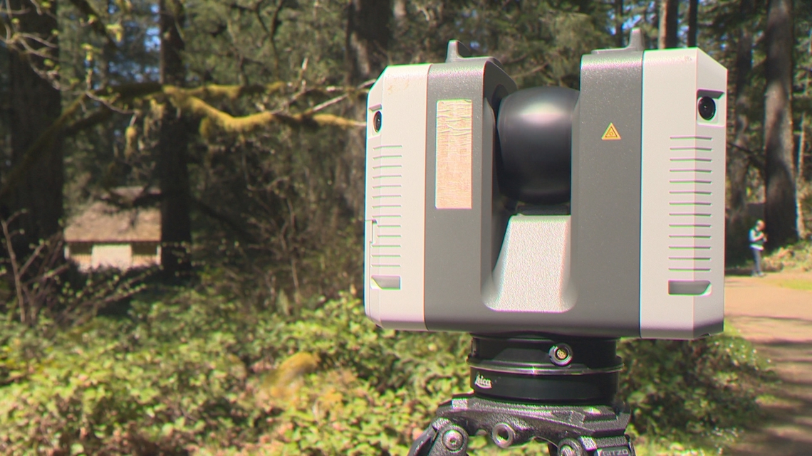
“We are digitally scanning the structures in the South Falls Historic District,” said Kesterson.
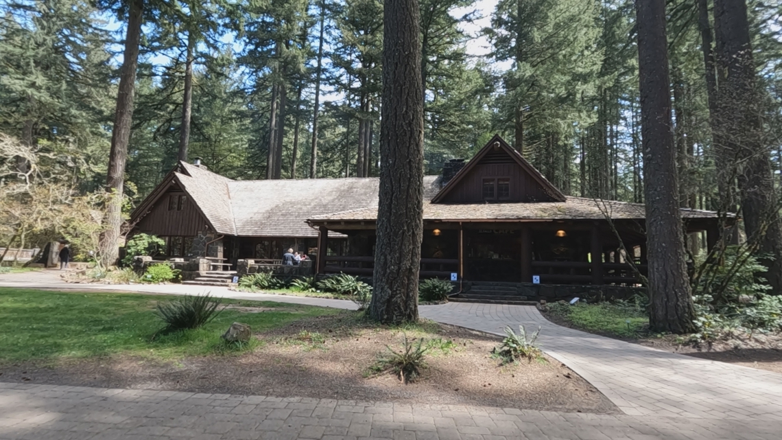
LIDAR scanning devices were spinning around on tripods outside three historic buildings: the South Falls Lodge, Nature Store and Stone Kitchen — all built in the 1930s and 1940s.

With a grant from Oregon State Parks, faculty and students from OSU were working to preserve the history of the structures. The project motivated by wildfires that have come close to the park in recent years.
“I call it, sort of a digital insurance policy,” Kesterson said. “The risk of fires is significant and I can't do anything to control that — none of us can. But by scanning these structures in the case of catastrophic loss, there is a very detailed data set that could be utilized to help reconstruct.”
While the LIDAR devices scanned the buildings, a drone flew overhead mapping their location in relation to each other. The team also took photographs from the ground. Over the next several months, the images will be stitched together with reference tags placed around the structures to create detailed digital renderings of the South Falls Historic District.

“Do we have good blueprints in order to reconstruct them? And the answer is no, they were built before people really did thorough records of that,” said OSU Professor of Geomatics, Mike Olsen.
“So to capture a building, we've got to go around and do several scans across the building. And so, what the targets do is they're helpful reference marks to link the data together down to millimeter-level accuracy,” Olsen said.
The scans will also be used to create a virtual experience for people to explore if they can’t physically visit the park. It will include more historical facts to promote the park.
“You're also getting information on all the vegetation and species around in the area so it can be used by ecologists,” said Olsen.

Kesterson emphasized they’re not trying to bring a “doom and gloom” approach, but rather take proactive steps to preserve history. Later this summer, he will lead an OSU trip to Scotland — where they’ve been using similar technology to map castles and other historical buildings for decades.
Whether the activity is unusual or not at Silver Falls State Park, it’s a great place to visit any time of year.
“Come out and enjoy it,” Kesterson said. “Recognize, like with any place you love that it can be gone at any point — come out and celebrate what we have while it’s here.”
"Let's Get Out There" airs once a week on KGW's 4 p.m. newscast and "The Good Stuff," which airs Monday-Thursday at 7 p.m. We're including viewer photos for this series. You can text your photos to 503-226-5088 or post them on the KGW Facebook page.