PORTLAND, Ore. — The ice storm that moved into Portland and the Pacific Northwest region on Thursday isn't over yet, although the end is in sight. Saturday morning brings the potential for another period of freezing rain.
The National Weather Service issued a new Winter Weather Advisory, in effect from 8 a.m. to 4 p.m. for the Portland-Vancouver metro area and lower Columbia Valley.
After days of temperatures well below freezing throughout the Portland area, temperatures are expected to gradually climb above freezing on Saturday. The KGW station in downtown Portland hit 31 degrees around 7 a.m., KGW meteorologist Chris McGinness said.
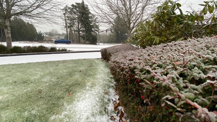
Much of the Willamette Valley and Southwest Washington was barraged by sleet and freezing rain Thursday evening that continued overnight, setting up icy conditions Friday morning that left traffic snarled and thousands without power as the accumulated ice brought down tree limbs and power lines.
Icy roads and airport runways also caused delays and hundreds of flight cancellations coming in and out of Portland International Airport amid busy holiday travel.
Here's the timeline of the storm, as of the latest forecast on Saturday morning. This story will be updated as our weather team tracks this storm and updates to the forecast become available:
Saturday
Temperatures will warm up further on Saturday, particularly in the afternoon as a weather front arrives and pushes out the coldest air, although the Gorge will stay icy at least into Saturday night. The warming trend will continue on Sunday, including in the Gorge.
Friday evening
Portland's precipitation during the ice storm Thursday night proved to be more sleet than freezing rain, which KGW chief Meteorologist Zaffino said was lucky because the resulting ice on the ground had more grit and traction than the smooth sheet that would form from pure freezing rain.
Still, it was enough to make road conditions tricky on Friday, and another round of freezing rain began to arrive Friday evening with temperatures still in the mid 20s, Zaffino said, would will likely add another tenth or two-tenths of an inch of ice to the roads.