
PORTLAND, Ore. — Fire season is approaching again, bringing with it the yearly threat of devastation in the Northwest. In September 2020, the Beachie Creek fire blew through the Santiam Canyon in Oregon, destroying thousands of structures and killing five people.
What can be done to prevent a tragedy like this in the future? Pacific Power's plan is to better predict the weather.
Multiple lawsuits accuse Pacific Power of not shutting off transmission lines in 2020 despite high winds in the forecast, which potentially could have prevented fire starts. Those lawsuits are still open and the company would not comment.
The utility did, however, show off a new weather program put in place — a move it says was designed to avoid future disasters.
RELATED: Portland General Electric prepares for possible power shutoffs this summer to prevent wildfires
Steve Vanderburg is a meteorologist who used to work for the National Weather Service, then built and ran the fire weather forecast center for San Diego Gas and Electric in California. Now he's in Portland, building a program for Pacific Power with a $25 million budget over five years.
"We're seeing larger wildfires, more severe fire seasons — and that's a catalyst for the tools we're about to show," Vanderburg said.
As a changing climate brings more extreme weather, the power company started planning for wildfires in California in 2018 and filed its first fire mitigation plan for Oregon last December.
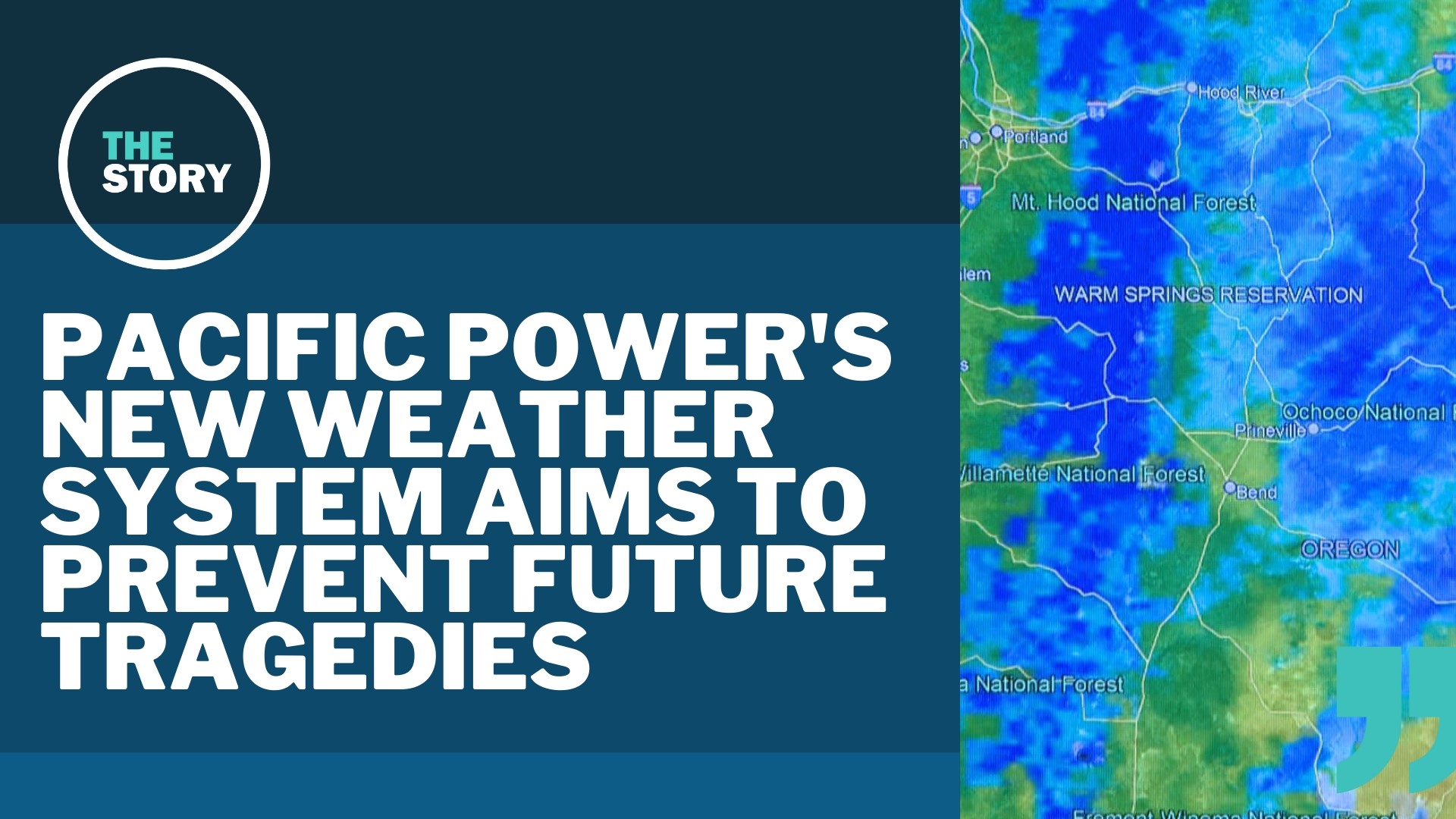
Now Vanderburg and four other meteorologists are building a weather forecasting program that will use machine learning and multiple databases to create complex forecasts for the six states where Pacific Power operates. It will include a database of weather with an hour-by-hour history for conditions that covers all six states and stretches back 30 years.
"In other words, at any given point in our service territory, we'll be able to generate a time series of hourly weather conditions over 30 years. What that allows you to do is then correlate that to the outage activity we've seen, correlate that to things like wildfire events, correlate that to a number of events," Vanderburg said.
The system can track 3D modeling of winds, expected and actual locations of power outages, even dryness on the ground.
The program could have been very useful in September 2020 when the Beachie Creek fire, fanned by historic winds and dry conditions, killed five people and destroyed thousands of structures. Some blamed Pacific Power for ignoring weather service forecasts of historic winds and not shutting the electricity off in its power lines, adding to the fire.
"The Beachie Creek fire and the Labor Day event in general is really an example of the extreme weather that we've been seeing in the last couple of years. It's an example of the impactfulness that wildfire risk can have on the communities we serve. While we had these plans in place to expand our situational awareness, it just emphasized how important it is to continue that journey," said Allen Berreth, VP of operations for Pacific Power.
The system was used in part last summer in Southern Oregon. This year it will cover the entire state, plus five more — with the goal of knowing where the threats are highest, so steps can be taken ahead of time to keep everyone safe.
Meteorologists are looking for where "the weather is expected to bring an increased risk of outages on our system and the potential for wildfire and the consequences for wildfire are extreme in this location," Vanderburg said.