
A winter weather advisory for the Cascades, the upper Hood River Valley and the Columbia Gorge has been canceled.
Temperatures should rise above freezing in the Gorge and Hood River Valley late Monday morning, according to the National Weather Service.
In Portland, patchy fog will break up by mid-morning Monday with a 30 percent chance of rain and highs in the mid 40s. Winds will be calm, according to the NWS.
The change comes after a weekend that saw poor conditions in the Gorge.
A weather system moved inland from the Oregon coast and into the Columbia Gorge on Sunday, bringing freezing rain, sleet and snow for elevations higher than 500 feet.
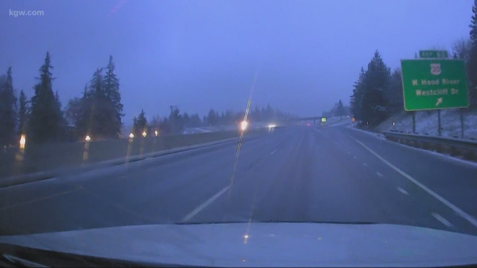
A KGW news crew drove out to Hood River on Sunday evening. They found wet snow falling west of Hood River on I-84 with some slush on the roadway. Conditions were worse on Highway 35 up into the Hood River Valley. There they found snow on the road around Odell and some freezing rain and possibly sleet along the way.
Snowboarder Max Harrington drove in it, after a day on Mt. Hood.
"It's slick," Harrington said. "You're not going to want to go fast, that's for sure. If you've got four-wheel or chains, that's what you're going to want."
At the Pine Grove Pit Stop, employee Arturo Martinez was pumping gas, and watching the road get a little worse as the evening wore on.
"You just got to be careful, like the later it gets tonight, it will probably be freezing," he said. "So you just got to be careful on the roads."
Elevations above 500 were expected to see as much as a quarter-inch of ice accumulation with as much as an inch of snow Sunday, according to the NWS.
Helpful links
- Radar: on.kgw.com/radar
- Weather-related closures: on.kgw.com/closures
- Weather alerts on.kgw.com/weatheralerts
Traffic links:
- Traffic alerts: on.kgw.com/alerts
- Traffic speed maps: on.kgw.com/traffic