

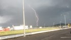
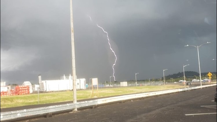
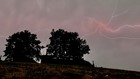
PORTLAND, Ore. — Stormy weather brought showers, powerful winds and hail throughout much of Oregon on Wednesday afternoon and evening but don't expect a repeat Thursday, says KGW meteorologist Rod Hill.
Fifteen Oregon counties, and several in Washington, were under a Severe Thunderstorm Watch on Wednesday evening, mostly targeting southern Willamette Valley and central and eastern Oregon.
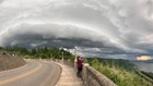
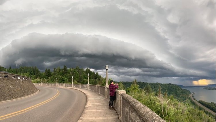
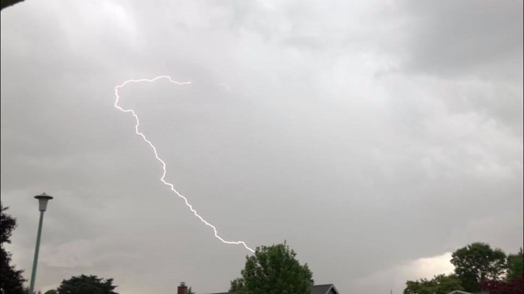
However, the stormy weather reached the Portland and Salem areas as well. Many residents in the Willamette Valley were greeted with booming thunder and lightning as they came home from work.
Rod Hill said as much as 3 inches of rain was dumped on parts of eastern Clark County during the storm.
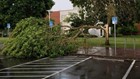
There were reports of downed trees throughout the Willamette Valley. The National Weather Service said nearly 50 mph gusts were recorded at the Troutdale Airport.
Expect scattered showers Thursday morning, with isolated thunderstorms. There may be spotty downpours, possibly with hail, in the afternoon.
In Gresham, a lightning strike that set a tree on fire at Northeast 162nd Avenue and San Rafael Street was caught on video.
The National Weather Service said more than half an inch of rain fell in 15 minutes in some areas, leading to flooding and water overflowing in the streets.
At one point Wednesday evening, more than 20,000 Portland General Electric customers were without power in Marion, Clackamas, Washington and Multnomah counties but most had power back by Thursday morning.
Check power outages: PGE | Pacific Power
Photos: June storm in Portland area
Photos: June storm in Portland area


In rural Clackamas County, a storm cell nearly covered Highway 26 with hail.