
PORTLAND, Ore. — It’s that time of year where one graphic on everyone’s weather app can put the city in a tizzy. Yes, it’s that all-powerful snowflake icon, and it’s back!
So, what does it mean when the snowflake icon pops up? For that, we turned to KGW chief meteorologist Matt Zaffino.
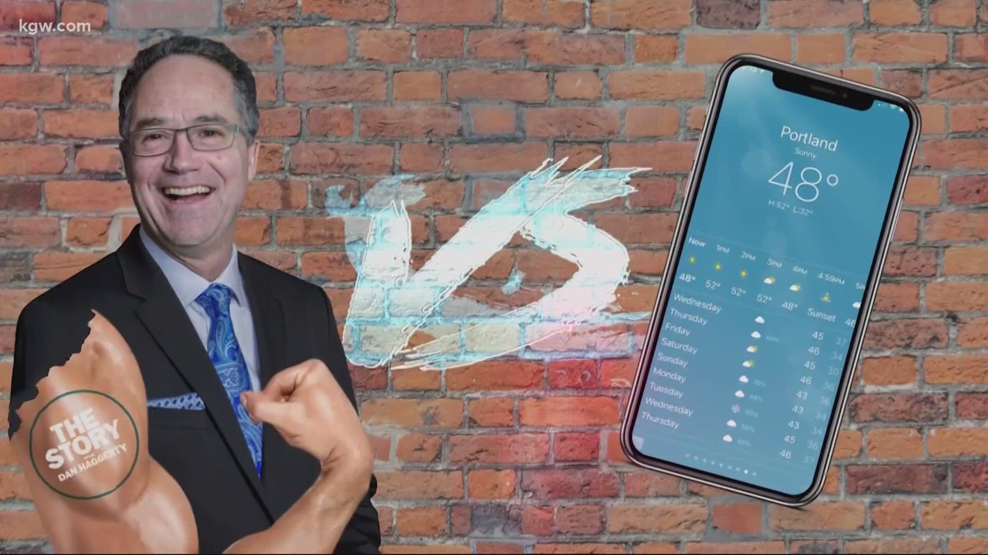
He explained that while phone weather apps certainly are useful and have value, they are limited. He said the biggest problem with a forecast on a weather app is that it’s all computer-generated and there’s no human input. Zaffino said the app is taking model data and putting that data out in graphical format. An example of how this could be limiting is with elevation. The app doesn’t tell you at what elevation there may be snow, or what elevation level the models are using, and anyone who’s lived through a Portland snowstorm understands elevation matters.
OK, so the weather apps say it may snow Sunday and Monday. But will it? Again, we turn to Zaffino for that human insight your phone app doesn’t give you.
Zaffino said, at this point, it’s unlikely there will be widespread valley snowfall Sunday and Monday. He said the snow level could drop as low as 500-1,000 feet Sunday through Tuesday. So, areas at that elevation level may have the best shot at getting the first Portland-area snow this winter.
RELATED: Latest KGW forecast
There’s still a lot of time between now and the days when snow could be a threat, so a lot can change. But at this point, Zaffino said snow-lovers shouldn’t get too excited yet.