
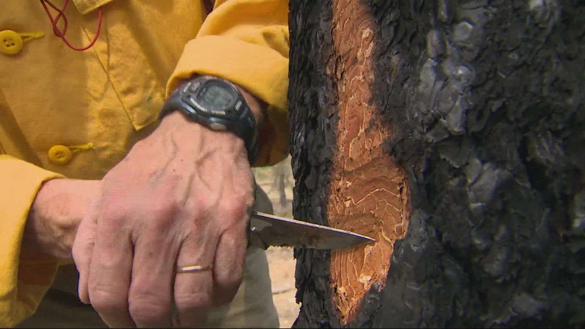
PORTLAND, Ore. — There are a number of wildfires burning in Oregon and Southern Washington. The region saw an earlier-than-usual start to the season due to the dry conditions and record-setting late-June heat that is complicating firefighting efforts and causing some fires to spread rapidly. Note: No fire that is more than 90% contained is listed.
Oregon
Jack Fire
- Location: Umpqua National Forest, north of State Highway 138 and east of Forest Road 4713 (Jack Creek Road)
- Acreage: 23,884
- Cause: Unknown
- Began: July 5
- Containment: 53%
- Closures:
- The Umpqua and Willamette National Forests have updated existing closure orders to encompass the Rough Patch, Jack, Archie Creek and Devil's Knob Fire Areas. This includes Canton Creek Campground, Musick Guard Station and Cover Campground.
Roseburg District Bureau of Land Management has expanded its closure area to include the Scaredman Recreation Site. Francis Creek Road from the junction with Canton Creek Road north to the district boundary has been and remains closed since August 5.
Highway 138 between Roseburg and Diamond Lake and Crater Lake remains open. Slow down and be alert while passing through the fire area. Copies of all closures and maps can be found at https://inciweb.nwcg.gov/incident/closures/7758/
- The Umpqua and Willamette National Forests have updated existing closure orders to encompass the Rough Patch, Jack, Archie Creek and Devil's Knob Fire Areas. This includes Canton Creek Campground, Musick Guard Station and Cover Campground.
- Evacuation information: For the latest evacuation information, please visit the Douglas County Sheriff's Office interactive evacuation map.
- More info: Visit the Jack Fire information page on Facebook.
Middle Fork Complex
- Location: Nine miles north of Oakridge, Ore.
- Acreage: 18,935
- Cause: Unknown
- Began: August 1
- Containment: 12%
- Closures: Some National Forest System lands near the Middle Fork Complex fires are temporarily closed to provide for public safety. Please be sure to check current conditions before planning your trip to the Willamette National Forest. For more information visit: https://www.fs.usda.gov/detail/willamette/fire/?cid=fseprd552029.
- Evacuation information: Level 1 and 3 evacuation notices have been issued by Lane County. For current evacuation information and an interactive map of evacuation areas, visit: www.lanecounty.org.
Rough Patch Complex
- Location: Calapooya Divide in the Calapooya Mountains, between the Willamette River drainage and the Umpqua River drainage.
- Acreage: 31,351
- Cause: Under investigation
- Began: July 29
- Containment: 11%
- Closures: The Umpqua and Willamette National Forests updated existing closure orders to encompass the Rough Patch, Jack, Archie Creek and Devil's Knob Fire Areas. This includes Canton Creek Campground, Musick Guard Station and Cover Campground. Roseburg District Bureau of Land Management has expanded its closure area to include the Scaredman Recreation Site. Francis Creek Road from the junction with Canton Creek Road north to the district boundary has been closed since Aug. 5. Copies of all closures and maps can be found at https://inciweb.nwcg.gov/incident/article/7758/
- Evacuation information: None listed
- More info: The Rough Patch Complex consists of 19 fires north of Glide, Ore.
Devil's Knob Complex
- Location: Beaver Creek area
- Acreage: 34,382
- Cause: Lightning
- Began: July 1
- Containment: 25%
- Closures: The Forest Service has implemented an Emergency Fire Closure restricting public access to most of the Steamboat, North Umpqua, and South Umpqua drainages because of high fire danger and the safety of firefighting resources in the area.
- Evacuation information: For the most up-to-date information on evacuation conditions, residents are encouraged to visit the Douglas County Sheriff Department's interactive evacuation map at www.dcso.com/evacuations where they can enter their address to determine what level they may be in. Residents can opt-in to receive emergency alerts based on their address by registering at www.dcso.com/alerts. The Umpqua National Forest has implemented an Emergency Fire Closure Order restricting public access to the majority of the Steamboat, North Umpqua, and South Umpqua drainages due to high fire danger and the safety of firefighting resources in the area.
- More info: Devil's Knob Complex consists of 40-plus lightning-caused fires.
Sunset Valley Fire
- Location: Wasco County
- Acreage: 987
- Cause: Under investigation
- Began: July 1
- Containment: 85%
- Closures: None listed
- Evacuation information: Follow the Wasco County Sheriff’s Office for the latest evacuation information. Local residents can also sign up to receive future emergency notifications through the county.
SE Washington
Green Ridge Fire
- Location: 30 miles east of Walla Walla, Washington
- Acreage: 39,798
- Cause: Lightning
- Began: July 7
- Containment: 39%
- Closures: Closures are in place for some areas in the Umatilla National Forest. The forest closure for some areas on the Umatilla NF have been amended. All lands on the Walla Walla Ranger District in Washington, forest lands in Washington on the Pomeroy Ranger District remain closed to entry. The closure order can be found at https://go.usa.gov/xFyhn.
- Evacuation information: The Level 3 evacuation area north of the Green Ridge Fire has been changed to a Level 2 and includes Clearwater Tower, Stentz Springs, and Rose Springs. Garfield County and Columbia County dropped all Level 1 and 2 evacuations on Aug. 29. The Grouse Flats area is currently under a Level 1 evacuation in Garfield County, Asotin County, and Wallowa County, Ore. An interactive fire evacuations map can be found at https://arcg.is/0mrCe1.
- More info: Visit the Green Ridge Fire information page on Facebook.