
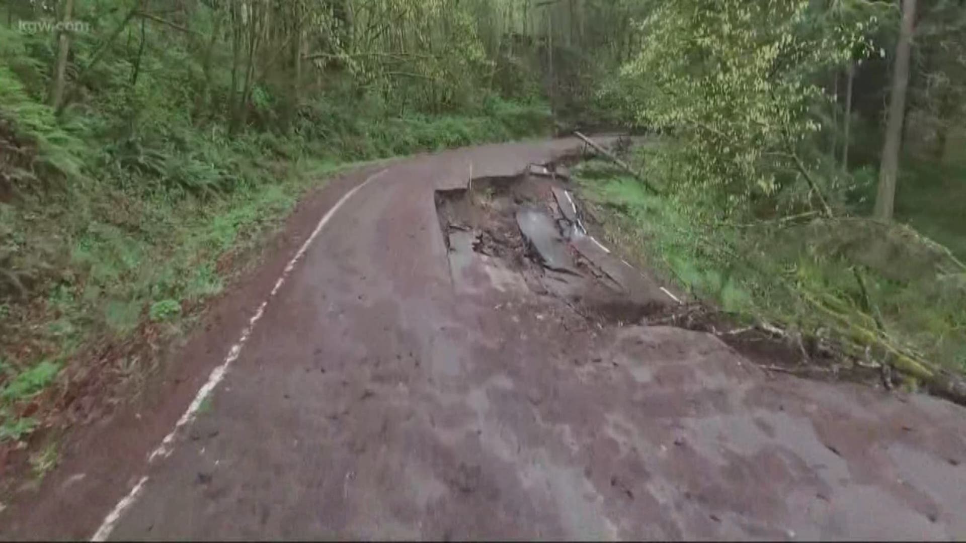
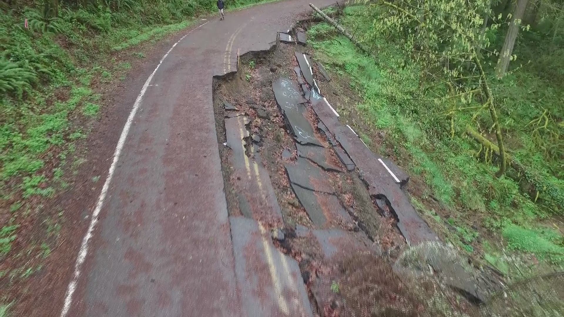
PORTLAND, Ore. -- For tens of thousands of people in the Portland area, a landslide is a real risk.
Thanks to some new interactive maps, it's easier than ever to find out if you are one of those people.
For the first time, geologists with the Oregon Department of Geology and Mineral Industries have been able to map out, down to the tax lot, where future landslides may happen.
They combined LIDAR technology, a kind of laser mapping that shows where past slides have occurred, with other high-tech tools to come up with the new data.
"The big difference is that we had this inventory of what happened in the past, now we have these modeled maps that show risk for the future," said engineering geologist Bill Burns.
The interactive maps are also much easier to use than previous versions.
By entering your address, you can find out if you live on land that has slid in the past and if your land is at risk for shallow or deep slides in the future.
The new research also looked at how many people in Multnomah County live in risky areas.
It found about 37,000 people live in areas at high risk for a landslide.
Of those, 6,700 live on land that has slid in the past.
But experts stress, these numbers are not meant to alarm or scare people but to encourage them to takes mitigation steps, like better managing storm water runoff to help minimize the risk.