
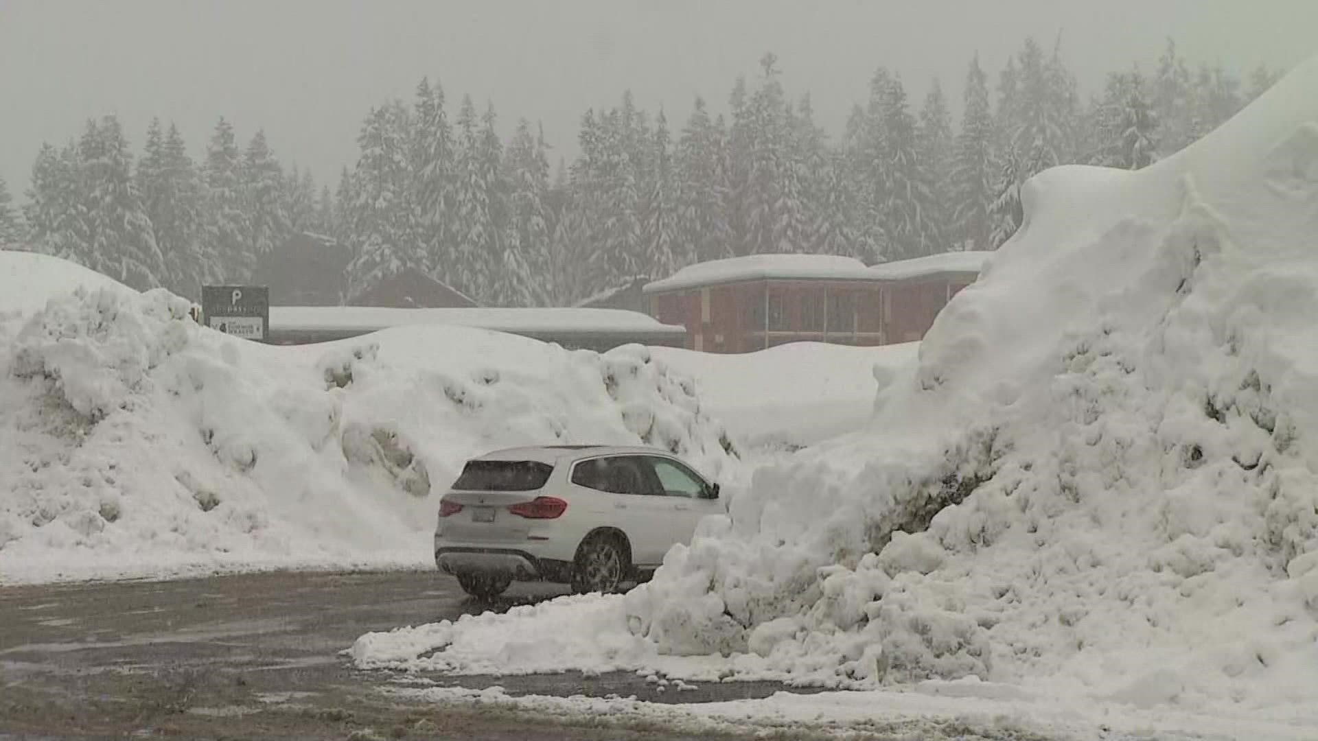
SNOQUALMIE PASS, Wash — Snow flurries are expected above 6,000 feet in the mountains this weekend as Washington continues to trudge through one of the coldest springs on record.
Assistant State Climatologist Karin Bumbaco with the University of Washington said last month was the third coldest April on record and also the 10th wettest.
"I can relate to people grousing about the wet April. I've also had outdoor plans that have been spoiled on weekends with April rain, but overall, it's a good thing," she said.
Last month, Washingtonians experienced about 137% of normal precipitation levels, which Bumbaco said is a good thing when you think about the very beginning of April.
"On April 1, we were only at 80% of normal [snowpack]," Bumbaco said. "So we've made up a lot of snow in just the last few weeks."
Further into April, things changed as the month crept into record low temperatures. April 2022 became the third coldest for Washington. The second coldest was just 11 years ago in 2011, and the coldest April was over 100 years ago in 1895.
As many Washingtonians wait on warmer months, Bumbaco said the winter-like weather is exactly what the state needed, even as the snowpack officially reached 128% of normal levels earlier this week.
"We want snow in our mountains, of course, because we use that water for a lot of different things once we enter our dry season," she said. "So it's used for irrigation. It's used for fish. It's also used for recreation as well, and then it can also impact our fire season."