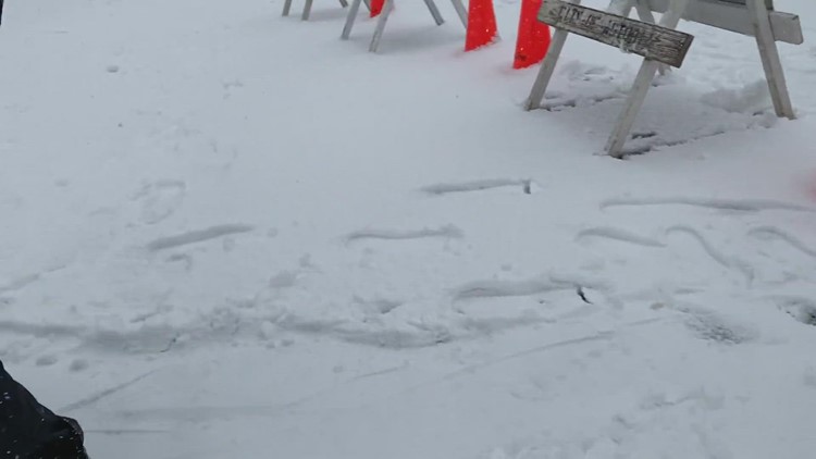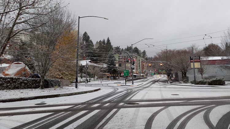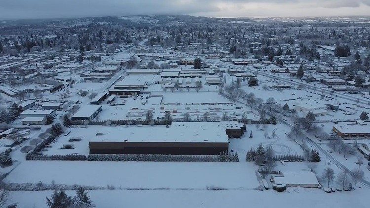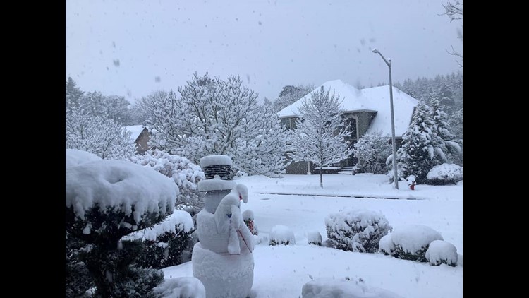
PORTLAND, Ore. — Minus a few snow flurries, the snow that started falling Saturday night in the Portland metro area has taken a break Monday morning, though freezing temperatures across the region are causing icy roads. The relief from snow is expected to be temporary, though, with another round of snow arriving Monday night and continuing into Tuesday morning.
The coldest air of the season arrived Saturday night, leading to snow across western Oregon on Sunday morning. Most areas saw less than an inch as of midday Sunday, although residents in some parts of the Portland metro area reported higher totals.
The snow came down in showers rather than a widespread area of steady snowfall, contributing to the variations in accumulation from area to area.
Sunday's snow was the first of multiple chances of snow showers expected in the Portland area through the coming week. Here's a timeline of what you can expect now that the winter weather is here.
Sunday, Dec 26
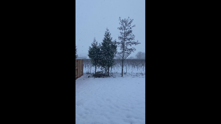
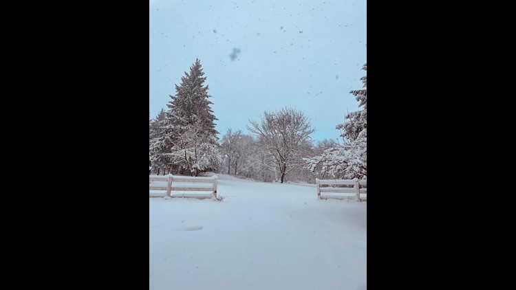
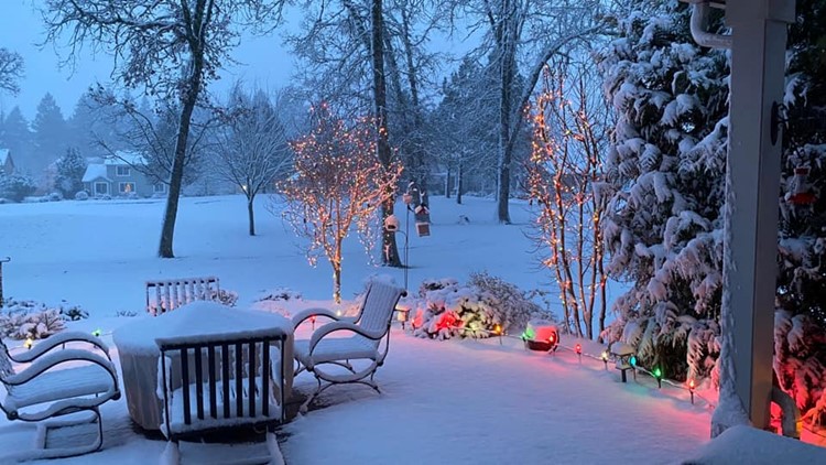
Numerous snow showers swept through the region Sunday, arriving in small and frequent bursts rather than a steady event. The Portland area saw between 1 and 2 inches of snow Sunday night, with slightly higher amounts south into Salem and Albany.
More frequent showers led to higher accumulations in the Cascades foothills and the Coast Range, as well as the Southern Willamette Valley past Albany.
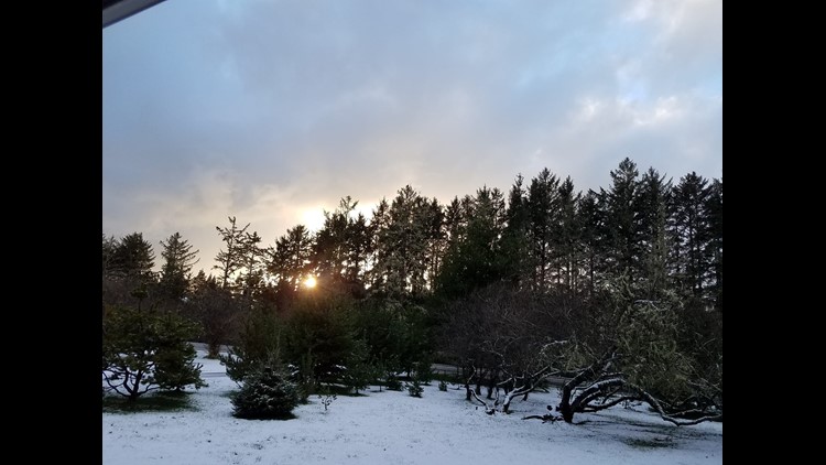
Monday, Dec. 27
Minus a few flurries, the snow ended early Monday morning, though freezing temperatures caused some icy roads across the Portland metro area. The freezing temperatures are likely to remain there until Thursday or Friday.
That means whatever snow is on the ground Monday morning is going to stick around until the end of the week — although there will be sunbreaks on Monday that could help melt snow off the roads.
Tuesday, Dec. 28
More snow accumulation is likely on Tuesday when a storm system slides south just off the coast.
Coastal areas, including the beaches, will get more snow than the valleys and possibly even more than the Cascades. The coast could get anywhere from 1 to 4 inches, while the valleys will see 2 inches or less.
If the storm stays far enough offshore, Portland could be in for a cold and windy day as east winds develop.
Wednesday, Dec. 29
Wednesday should be sunny, could and windy, with high temperatures in the 20s and lows in the teens — or colder in areas that don't experience strong wind.
Thursday, Dec. 30
Thursday, the storm track appears to shift a little bit, taking a low pressure center to our north. That should lead to warmer south winds and result in a messy transition from snow to sleet, then freezing rain and finally just plain rain by Thursday night or Friday.
Often times the cold air hangs on longer than expected, so this may be the best shot at significant snow in Portland, but it will come amid a transition back to above-freezing temperatures.
Friday, Dec. 31
At this point, it appears Portland will warm up enough to see wintry weather retreat to the higher terrain, with valley areas seeing just rain. But stay tuned — this may change as the forecast becomes clearer as we get closer.