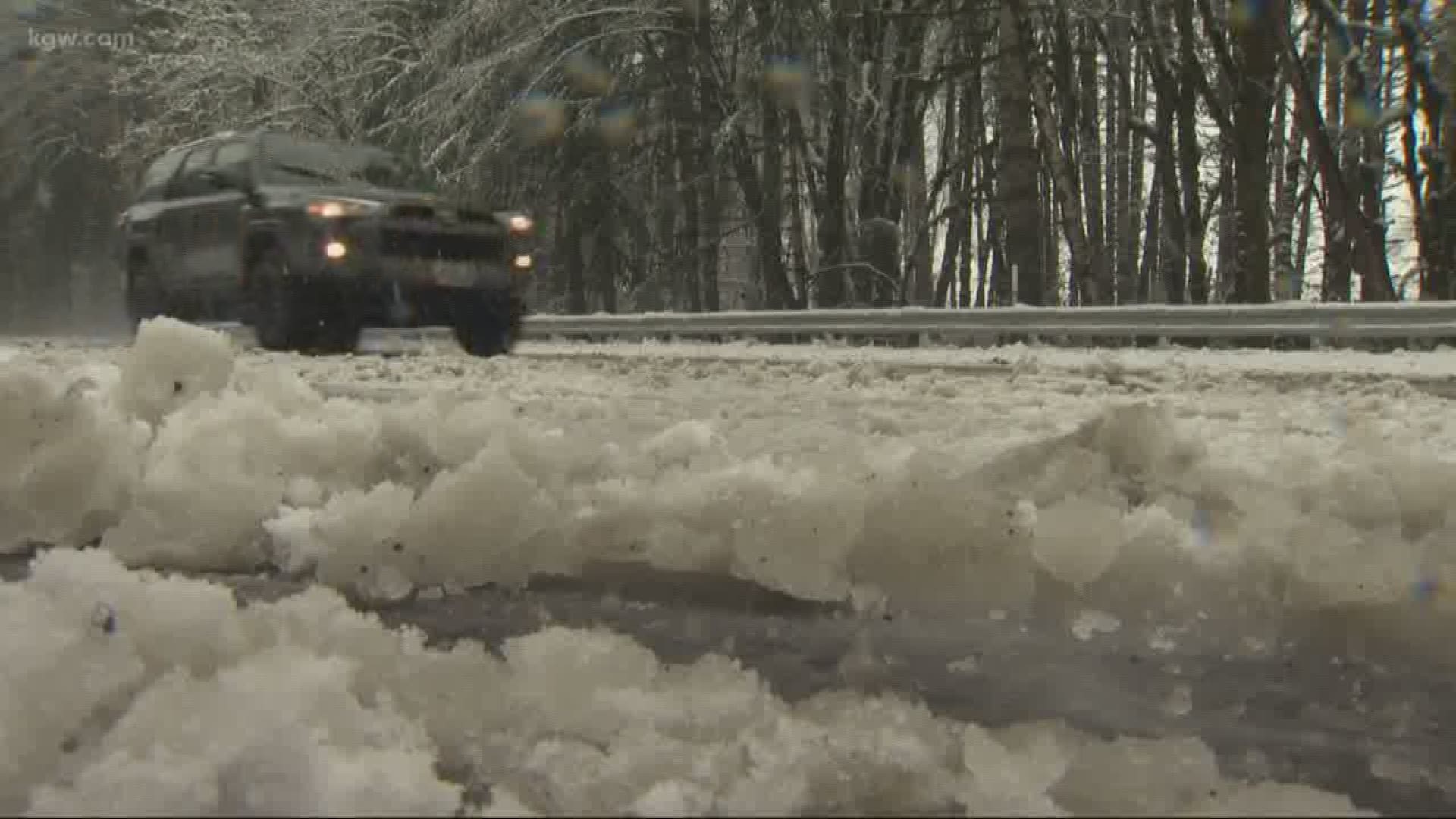
The winter weather isn’t finished just yet.
Although the calendar flipped over to spring, a system of cold air and moisture is expected to drop measurable snow on Oregon’s mountains Thursday night and Friday.
"Ground temperatures are generally holding above freezing up through 1,000 feet," KGW meteorologist Rod Hill says in his Friday morning forecast. "Look for heavy rain showers during the day with breezy south to southeast winds to 25 mph. Hail and thunderstorms continue to be possible."
Some school districts at higher elevations have buses on snow routes. See the list.
HELPFUL WEATHER LINKS
- Radar: on.kgw.com/radar
- Weather-related closures: on.kgw.com/closures
- Weather alerts on.kgw.com/weatheralerts
- 7-day forecast: on.kgw.com/7day
Forecasters say around 6 to 10 inches of snow is expected into the weekend, with snow levels dropping as low as 1,000 feet early Friday morning.
A few snowflakes could fall in the Willamette Valley, but it’s not expected to stick to the roads.
“We’ve got a cold air mass moving down from Alaska, and we’re also tapping a little bit of the moisture that’s causing the flooding in Southern California,” National Weather Service meteorologist Will Ahue said. “It’s nothing out of the ordinary.”
The heaviest snow is expected in the Cascade Foothills, Coast Range and Cascade Mountain passes Friday morning, Ahue said.
A second round of snow could hit over the weekend, but it’s not expected to bring much more than a few inches.
The small-scale dump should help solidify Oregon’s below-average snowpack, but it won’t make a major difference given warm rain eroded much of the state’s low elevation snowpack this week.

